


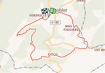


13,1 km | 19,5 km-effort

Gebruiker


Gratisgps-wandelapplicatie
 SityTrail
IGN / Geografische instituten
SityTrail World
De wereld gaat voor u open
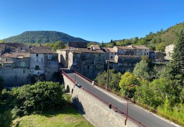
Tocht Stappen van 12 km beschikbaar op Occitanië, Gard, Monoblet. Deze tocht wordt voorgesteld door genevieve.
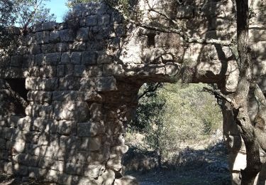
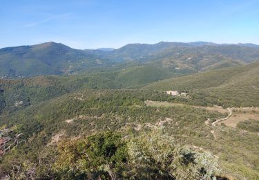
Belle randonnée sans difficulté autour des jumelles et à l'ombre des ruines du château de Fressac. A Gourgas, faire attention pas de sentier balisé mais plus sauvage et de belles vues sur l'autre vallée


Stappen
Stappen

Te voet

Stappen


Stappen
Wegfiets
Stappen
Stappen
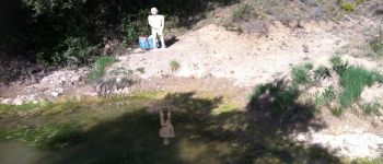
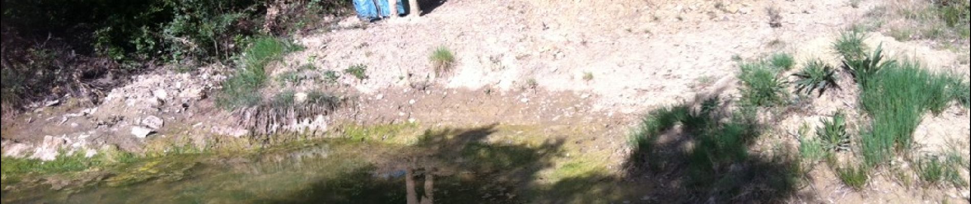
attention, sentier difficile à trouver parfois !!