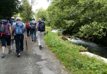
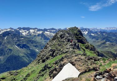
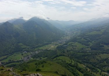
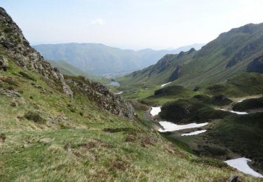
9 km | 25 km-effort
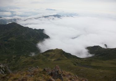
2021-01-14_22h35m53_Pic de La Peyre
yvesdelafforest
Gebruiker
Lengte
12,4 km
Max. hoogte
1819 m
Positief hoogteverschil
942 m
Km-Effort
25 km
Min. hoogte
876 m
Negatief hoogteverschil
943 m
Boucle
Ja
Datum van aanmaak :
2021-01-14 21:35:53.704
Laatste wijziging :
2021-02-03 16:59:25.41
--
Moeilijkheid : Heel gemakkelijk
Gratisgps-wandelapplicatie
Over ons
Tocht Ski randonnée van 12,4 km beschikbaar op Occitanië, Hautes-Pyrénées, Bagnères-de-Bigorre. Deze tocht wordt voorgesteld door yvesdelafforest.
Plaatsbepaling
Land:
France
Regio :
Occitanië
Departement/Provincie :
Hautes-Pyrénées
Gemeente :
Bagnères-de-Bigorre
Locatie:
Unknown
Vertrek:(Dec)
Vertrek:(UTM)
266003 ; 4766317 (31T) N.
Opmerkingen
Wandeltochten in de omgeving
Le pic de Montaigu
Stappen
Moeilijk
(1)
Bagnères-de-Bigorre,
Occitanië,
Hautes-Pyrénées,
France
6h 0min
Ja
LESPONNE entre torrents et cascades (G3) fait le 17 Juillet 2020"2479379"
Stappen
Heel gemakkelijk
Beaudéan,
Occitanië,
Hautes-Pyrénées,
France
8,8 km | 12,9 km-effort
4h 30min
Ja
hourquette
Wegfiets
Zeer moeilijk
(1)
Beaudéan,
Occitanië,
Hautes-Pyrénées,
France
50 km | 65 km-effort
2h 54min
Ja
Le montaigu
Stappen
Moeilijk
Bagnères-de-Bigorre,
Occitanië,
Hautes-Pyrénées,
France
9,3 km | 25 km-effort
7h 41min
Ja
tour du castelmouly
Stappen
Gemakkelijk
(2)
Bagnères-de-Bigorre,
Occitanië,
Hautes-Pyrénées,
France
12,7 km | 20 km-effort
4h 3min
Ja
Le Lac de l''OEuf depuis le col de la Courade
Stappen
Moeilijk
Campan,
Occitanië,
Hautes-Pyrénées,
France
13,6 km | 26 km-effort
7h 0min
Ja
Le Tour de la Bouche - Campan
Stappen
Moeilijk
Campan,
Occitanië,
Hautes-Pyrénées,
France
15,2 km | 28 km-effort
7h 0min
Ja
Crête de Conques - Beaudéan
Stappen
Moeilijk
Campan,
Occitanië,
Hautes-Pyrénées,
France
8,7 km | 23 km-effort
6h 0min
Ja
Rando Le Monné
Stappen
Medium
Bagnères-de-Bigorre,
Occitanië,
Hautes-Pyrénées,
France
22 km | 35 km-effort
5h 16min
Ja