

JD M2A 11/20 Circuit des collines de Dietwiller

argonneuweg
Gebruiker

Lengte
6,2 km

Max. hoogte
281 m

Positief hoogteverschil
78 m

Km-Effort
7,2 km

Min. hoogte
239 m

Negatief hoogteverschil
82 m
Boucle
Ja
Datum van aanmaak :
2021-01-08 13:11:28.0
Laatste wijziging :
2021-01-08 18:23:14.467
1h22
Moeilijkheid : Onbekend

Gratisgps-wandelapplicatie
Over ons
Tocht Stappen van 6,2 km beschikbaar op Grand Est, Haut-Rhin, Dietwiller. Deze tocht wordt voorgesteld door argonneuweg.
Beschrijving
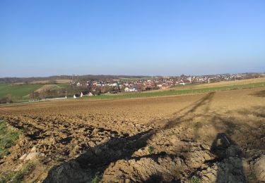
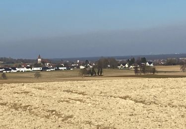
Randonnée très facile avec quelques belles vues, mais une partie du circuit est trop proche de la circulation automobile.
A voir notamment la vieille tour de Dietwiller et son tilleul tricentenaire.
Suivre le balisage du cercle vert.
Plaatsbepaling
Land:
France
Regio :
Grand Est
Departement/Provincie :
Haut-Rhin
Gemeente :
Dietwiller
Locatie:
Unknown
Vertrek:(Dec)
Vertrek:(UTM)
380167 ; 5283066 (32T) N.
Opmerkingen
Wandeltochten in de omgeving
Anneau rouge


Te voet
Gemakkelijk
Mulhouse,
Grand Est,
Haut-Rhin,
France

7,4 km | 9,7 km-effort
2h 11min
Ja
JD 17/20 Collines de Habsheim


Stappen
Rixheim,
Grand Est,
Haut-Rhin,
France

7,7 km | 9,7 km-effort
2h 0min
Ja

"Bromenade avec les kopains" du 03 /09/2024


Stappen
Gemakkelijk
Mulhouse,
Grand Est,
Haut-Rhin,
France

3,1 km | 3,7 km-effort
50min
Ja
Schlilierbach


Stappen
Medium
Schlierbach,
Grand Est,
Haut-Rhin,
France

9,3 km | 11,2 km-effort
3h 7min
Ja

waldeck- tou r du matin


Stappen
Mulhouse,
Grand Est,
Haut-Rhin,
France

8,3 km | 10,3 km-effort
1h 49min
Ja

VC 2024


Geocaching
Gemakkelijk
Habsheim,
Grand Est,
Haut-Rhin,
France

5,2 km | 6,7 km-effort
2h 30min
Ja
Bartenheim


Stappen
Moeilijk
Sierentz,
Grand Est,
Haut-Rhin,
France

11,5 km | 13,7 km-effort
3h 47min
Ja
22 03 01. VTM


Stappen
Moeilijk
Bruebach,
Grand Est,
Haut-Rhin,
France

6 km | 7,7 km-effort
2h 34min
Ja


 SityTrail


