


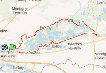

45 km | 50 km-effort


Gebruiker GUIDE


Gratisgps-wandelapplicatie
 SityTrail
IGN / Geografische instituten
SityTrail World
De wereld gaat voor u open
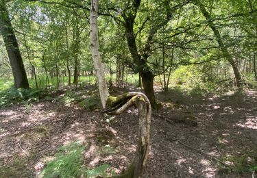
Tocht Stappen van 44 km beschikbaar op Île-de-France, Seine-et-Marne, Marolles-sur-Seine. Deze tocht wordt voorgesteld door chessyca.
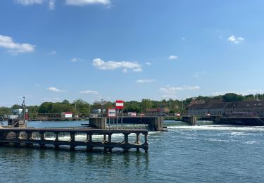
Dernière rando de l'année à l'initiative de Thierry
Superbe parcours notamment l'après midi
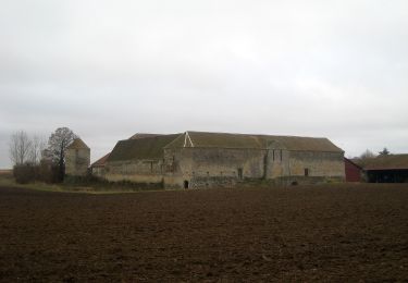
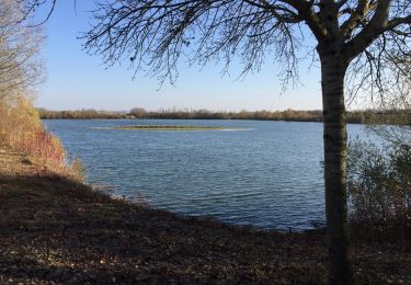
En cette saison, beaucoup de villages décorés

Wegfiets
Noords wandelen
Te voet

Noords wandelen
Noords wandelen
Stappen

Noords wandelen

Stappen
Stappen