


5,9 km | 6,7 km-effort

Gebruiker


Gratisgps-wandelapplicatie
 SityTrail
IGN / Geografische instituten
SityTrail World
De wereld gaat voor u open
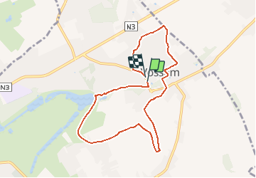
Tocht Stappen van 7,6 km beschikbaar op Vlaanderen, Vlaams-Brabant, Tervuren. Deze tocht wordt voorgesteld door Randos Ouvertes.
Point de départ : Parking - Kouterstraat 7 - 3080 Vossem
Autoévaluation : ⭐⭐⭐⭐
Non-revêtu à : 77 pourcents !
Trafic : 0/5
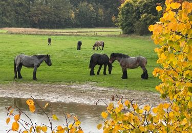
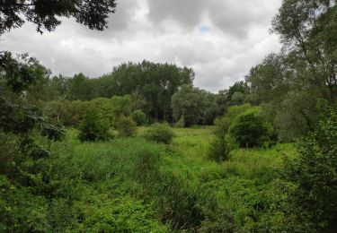
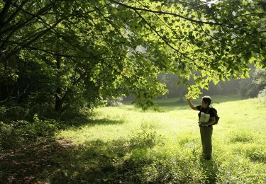
Paysages : 5/5
Près de l’eau : 3/5
Pollution sonore : 1/5
Urbanisation : 2/5
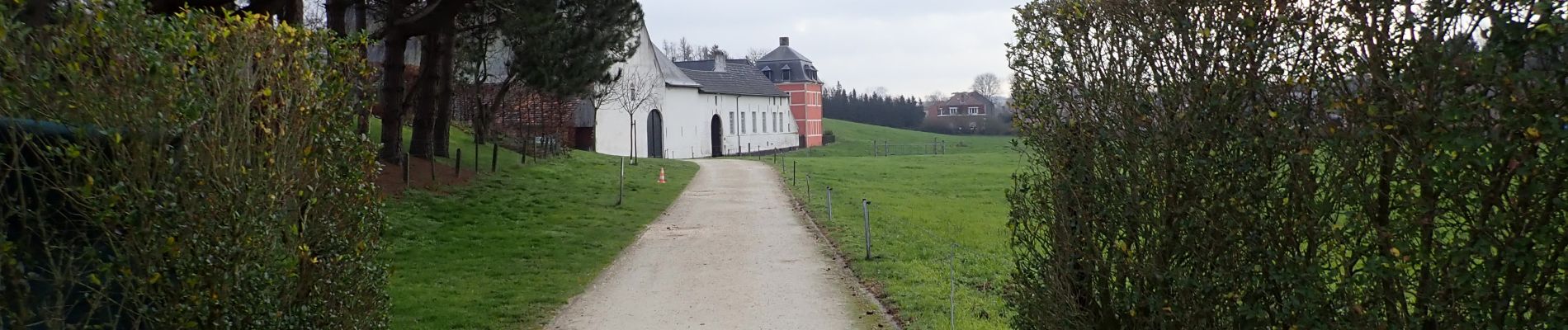
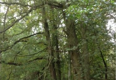
TOP : Surprenante richesse naturelle, au fil de l'eau, grandes étendues vertes et vallonnées, diversité, patrimoine, vues à 360°
Check : Passages boueux et/ou inondés par endroits suivant conditions météo. Bonnes bottines nécessaires en toute saisons.
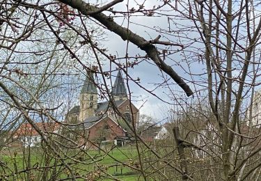
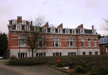
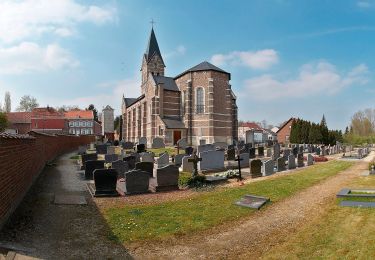
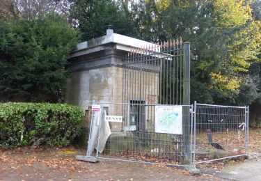
BOF : Quelques passages moins intéressants dans le village
Carte PDF imprimable
https://photos.app.goo.gl/RcfVCFdKmw3vBTLr5
Variante(s) : Ce circuit est une variante longue de "Vossem" par l'utilisatrice Wikiloc Valérie Haegeman
Superbe promenade sportive dans les paysages vallonnés du cette partie du Brabant Flamand. Un must !
Avertissement : Vous empruntez les itinéraires publiés sur mon profil sous votre entière responsabilité. Et ce aussi bien en ce qui concerne les voies dont l'accès serait interdit* qu'en ce qui concerne les risques d'accident liés à la configuration du terrain. Il peut toujours y avoir des portions chaotiques, accidentées, boueuses, inondées ou encombrées de végétation. *Voir clarifications en bas de ma page de profil.
Source : Basé sur un circuit de Valérie Haegeman. Je suis l'auteur de la description et des photos qui l'accompagnent. Tout est libre de droits. Je confirme par écrit sur simple demande.
N'hésitez pas à me laisser vos impressions dans Réactions (menu ci-dessous).
Je les lis toutes, j’y réponds et j’en tiens compte pour améliorer ma production future.
https://www.facebook.com/pierre.becquart.96
Chaumont-Gistoux - Dernière mis à jour 30/12/2020


Stappen
Stappen
Stappen

Stappen
Stappen
Te voet
Te voet
Te voet
Te voet
géniale Promenade