


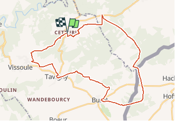

22 km | 29 km-effort


Gebruiker


Gratisgps-wandelapplicatie
 SityTrail
IGN / Geografische instituten
SityTrail World
De wereld gaat voor u open
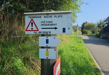
Tocht Te voet van 19,3 km beschikbaar op Wallonië, Luxemburg, Houffalize. Deze tocht wordt voorgesteld door emileverschueren.
Pour l'incursion au Grand Duché, passer à l'ancienne carte IGN de Belgique, il y reste un peu carte, imparfaite (bistre) du GD de Luxembourg.
Stappen
Stappen
Stappen
Stappen
Stappen
Stappen
Stappen
Stappen


sport