


6 km | 9,9 km-effort


Gebruiker


Gratisgps-wandelapplicatie
 SityTrail
IGN / Geografische instituten
SityTrail World
De wereld gaat voor u open
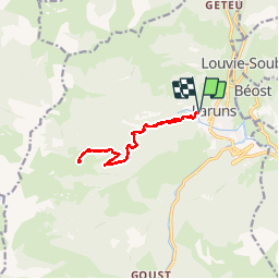
Tocht Stappen van 13,4 km beschikbaar op Nieuw-Aquitanië, Pyrénées-Atlantiques, Laruns. Deze tocht wordt voorgesteld door DuMarsan.
L’ITINERAIRE :
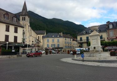
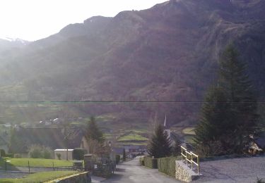
VILLE REPERE Laruns
Accès : Le départ de la randonnée est à Laruns. Pour le rejoindre , il faut se diriger vers l'ouest en direction de L'Arrioussé, jusqu'au petit pont de pierre. Où vous trouverez un panneau indiquant la cabane d'Arrioutort à 3h15 .Tour de la vallée d'Ossau
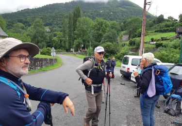
Rando :
Nous avons décidé de ne pas prendre les raquettes
Après le pont il faut ne pas louper le début du chemin
qui longe la clôture.Balises jaune et rouge assez peu nombreuses,
Le chemin continue de monter raide, il suffit de le suivre tranquillement. A un moment on passe sur un petit pont qui nous fait franchir le Béteret et sa cascade. Un peu plus loin nous rencontrerons pour la première fois la piste qui mène à la cabane(panneau 1100m et neige), sans jamais l'emprunter bien que nous la croiserons souvent.Sauf à l'altitude 1378m nous bifurquons à droite car un mur de neige barre le sentier.(passage un peu en dévers) Arrivée dans le cirque puis retour par le même chemin.
Circuit assez fatigant dans la neige.
L' essentiel de la montée s' effectue dans les 4 premiers Kms.
La rando débouche sur la cabane d' Arrioutort et le beau cirque qui l' entoure.

Stappen

Stappen
Stappen

Te voet
Te voet
Te voet
Te voet
Te voet
Te voet