10,8 km | 11,4 km-effort
Precey
guy50880
Gebruiker
Lengte
1,4 km
Max. hoogte
58 m
Positief hoogteverschil
3 m
Km-Effort
1,4 km
Min. hoogte
42 m
Negatief hoogteverschil
18 m
Boucle
Neen
Datum van aanmaak :
2020-12-25 10:10:46.122
Laatste wijziging :
2020-12-25 13:15:41.458
32m
Moeilijkheid : Heel gemakkelijk
Gratisgps-wandelapplicatie
Over ons
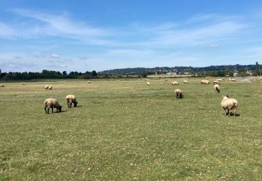
Tocht Stappen van 1,4 km beschikbaar op Normandië, Manche, Précey. Deze tocht wordt voorgesteld door guy50880.
Beschrijving
Facile
Plaatsbepaling
Land:
France
Regio :
Normandië
Departement/Provincie :
Manche
Gemeente :
Précey
Locatie:
Unknown
Vertrek:(Dec)
Vertrek:(UTM)
621034 ; 5385641 (30U) N.
Opmerkingen
Wandeltochten in de omgeving
La roche taurin Mont st michel
Stappen
Gemakkelijk
(1)
Courtils,
Normandië,
Manche,
France
3h 52min
Neen
Au fil de la Sélune
Stappen
Medium
(1)
Ducey-les-Chéris,
Normandië,
Manche,
France
8,6 km | 9,5 km-effort
2h 0min
Ja
La Roche Torin - le bas courtils
Stappen
Gemakkelijk
Courtils,
Normandië,
Manche,
France
11 km | 11,9 km-effort
3h 5min
Ja
Pontaubault - Roche de Thorin
Stappen
Medium
Pontaubault,
Normandië,
Manche,
France
12,6 km | 13,8 km-effort
3h 38min
Ja
Pontaucault - Mont-Saint-Michel
Fietstoerisme
Zeer moeilijk
Pontaubault,
Normandië,
Manche,
France
39 km | 42 km-effort
4h 14min
Ja
Véloscénie Ducey Mont St Michel
Fietstoerisme
Heel gemakkelijk
Ducey-les-Chéris,
Normandië,
Manche,
France
33 km | 36 km-effort
2h 51min
Neen
courtils / Mont St Michel
Stappen
Heel gemakkelijk
Courtils,
Normandië,
Manche,
France
9 km | 9,4 km-effort
1h 55min
Neen
F.DuceyStMalo37H89.369.VTT0
Mountainbike
Medium
Ducey-les-Chéris,
Normandië,
Manche,
France
89 km | 96 km-effort
6h 25min
Neen