


27 km | 41 km-effort


Gebruiker


Gratisgps-wandelapplicatie
 SityTrail
IGN / Geografische instituten
SityTrail World
De wereld gaat voor u open
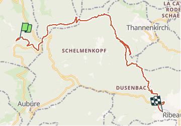
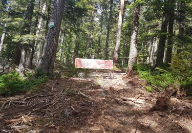
Tocht Te voet van 18,5 km beschikbaar op Grand Est, Haut-Rhin, Sainte-Marie-aux-Mines. Deze tocht wordt voorgesteld door senn francis.
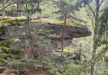
adelspach/col haut de ribeauvillé/le rammelstein/abri kutzigbuech/
rocher des géants/rocher bellevue/ober taennchel/les chateaux/ribeauvillé

Paardrijden

Paardrijden

Stappen

sport
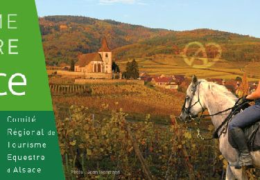
Paardrijden

Stappen
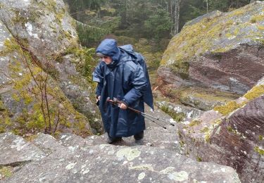
Stappen
Stappen
Stappen