


14,7 km | 23 km-effort

Gebruiker


Gratisgps-wandelapplicatie
 SityTrail
IGN / Geografische instituten
SityTrail World
De wereld gaat voor u open
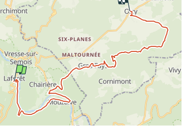
Tocht Te voet van 18,3 km beschikbaar op Wallonië, Namen, Vresse-sur-Semois. Deze tocht wordt voorgesteld door Tourisme5555.
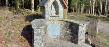
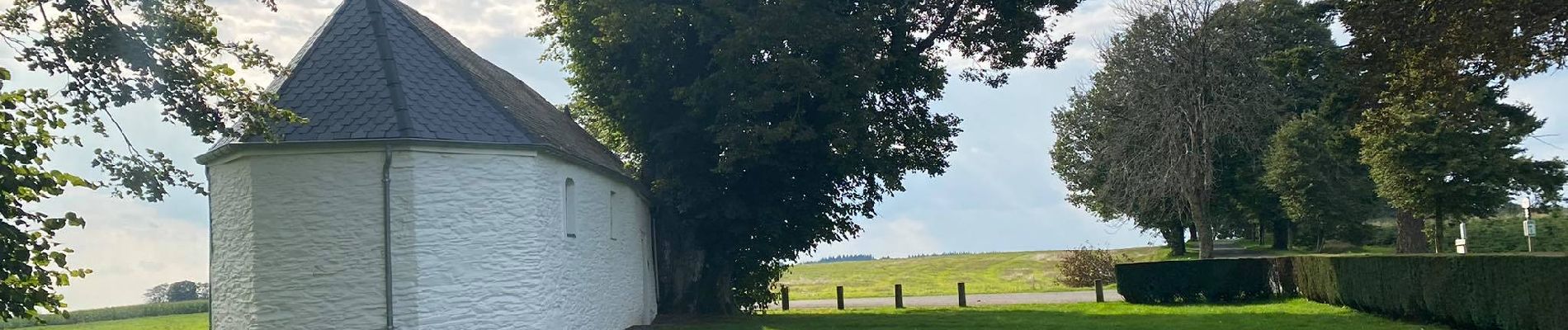
Tweede trektocht van die van 72 km lange meerdaagse wandeltocht langs 3 Ardense dorpen die tot de mooisten van Wallonië behoren, met name Laforêt, Gros-Fays en Our. Bereikbaar met de trein.
Brochure met beschrijving van het wandelparcours, legendes, multisensorische experimenten, uitleg over het Ardense dagelijkse leven van nu en weleer, inclusief praktische informatie zoals overnachtingsmogelijkheden, eet- en drankgelegenheid, badzones, ...
verkrijgbaar via mailadres tourisme.bievre@proximus.be
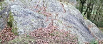
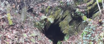
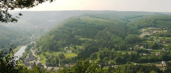
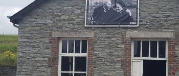
 Laforêt-Oizy - Photo 1")
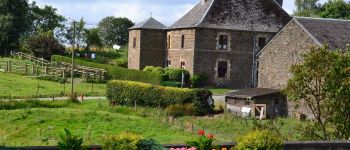
 Laforêt-Oizy - Photo 2")
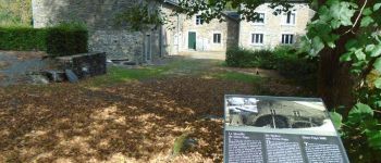
 Laforêt-Oizy - Photo 3")
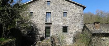
 Laforêt-Oizy - Photo 4")
 Laforêt-Oizy - Photo 5")
 Laforêt-Oizy - Photo 6")

Stappen

Stappen

Stappen

Stappen

Stappen

Stappen

Stappen

Stappen

Stappen