18,2 km | 19,5 km-effort
la chaussee st victor
gerardh
Gebruiker
Lengte
10,9 km
Max. hoogte
94 m
Positief hoogteverschil
111 m
Km-Effort
12,4 km
Min. hoogte
66 m
Negatief hoogteverschil
112 m
Boucle
Ja
Datum van aanmaak :
2020-12-18 10:28:46.37
Laatste wijziging :
2020-12-18 10:29:54.612
2h44
Moeilijkheid : Moeilijk
Gratisgps-wandelapplicatie
Over ons
Tocht Stappen van 10,9 km beschikbaar op Centre-Val de Loire, Loir-et-Cher, La Chaussée-Saint-Victor. Deze tocht wordt voorgesteld door gerardh.
Beschrijving
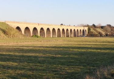
depart parc des mees
st denis
bord de loire
Plaatsbepaling
Land:
France
Regio :
Centre-Val de Loire
Departement/Provincie :
Loir-et-Cher
Gemeente :
La Chaussée-Saint-Victor
Locatie:
Unknown
Vertrek:(Dec)
Vertrek:(UTM)
376573 ; 5273140 (31T) N.
Opmerkingen
Wandeltochten in de omgeving
Vineuil le viaduc via la Noue Château de Ménard
Stappen
Medium
Vineuil,
Centre-Val de Loire,
Loir-et-Cher,
France
11,9 km | 12,5 km-effort
2h 30min
Ja
Saint-Gervais-la-Forêt - Chailles
Stappen
Gemakkelijk
Saint-Gervais-la-Forêt,
Centre-Val de Loire,
Loir-et-Cher,
France
9,1 km | 11,4 km-effort
2h 43min
Ja
B1StClaudedeDiray
Stappen
Medium
Saint-Claude-de-Diray,
Centre-Val de Loire,
Loir-et-Cher,
France
11,1 km | 11,8 km-effort
2h 15min
Ja
menais bord de Loire
Stappen
Heel gemakkelijk
Menars,
Centre-Val de Loire,
Loir-et-Cher,
France
12,4 km | 13,7 km-effort
2h 38min
Ja
St Claude de diray
Stappen
Heel gemakkelijk
Saint-Claude-de-Diray,
Centre-Val de Loire,
Loir-et-Cher,
France
12,6 km | 13,5 km-effort
2h 39min
Ja
St Claude de Diray
Stappen
Heel gemakkelijk
Saint-Claude-de-Diray,
Centre-Val de Loire,
Loir-et-Cher,
France
11,8 km | 12,7 km-effort
3h 2min
Ja
Blois Chambord et retour
Hybride fiets
Gemakkelijk
(1)
Blois,
Centre-Val de Loire,
Loir-et-Cher,
France
49 km | 54 km-effort
5h 13min
Ja
blois
Stappen
Medium
Blois,
Centre-Val de Loire,
Loir-et-Cher,
France
5,6 km | 6,4 km-effort
4h 10min
Neen