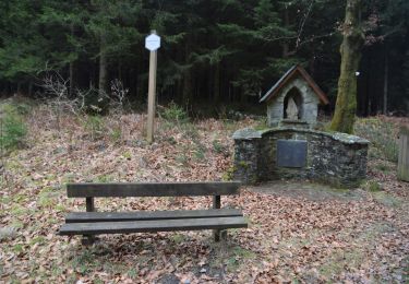
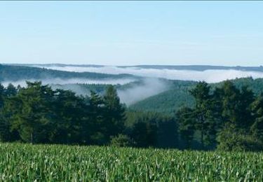
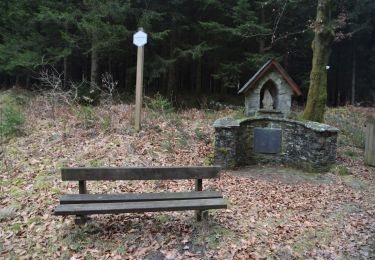
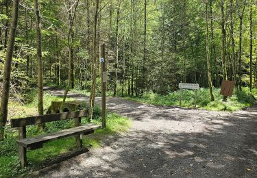
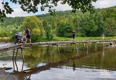
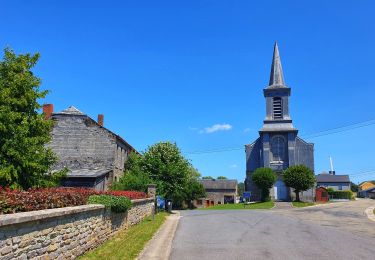
Tocht Stappen Bièvre - Se mouvoir et s'émouvoir (3) Oizy- Our - Photo

Se mouvoir et s'émouvoir (3) Oizy- Our

 Tourisme5555
Tourisme5555

Gebruiker

© OpenStreetMap contributors
Lengte
Lengte
19,5 km
Max. hoogte
Max. hoogte
441 m
Positief hoogteverschil
355 m
Km-Effort
Km-Effort  
24 km
Min. hoogte
Min. hoogte
305 m
Negatief hoogteverschil
410 m
Boucle
Boucle
Neen
Datum van aanmaak :
2020-12-16 07:51:31.861
Laatste wijziging :
2024-07-23 13:53:40.127

(0 Bericht)

Stappen
Stappen
5h33
Moeilijkheid : Zeer moeilijk

Scan deze QR-code om de tocht te openen in de SityTrail-applicatie

Gratisgps-wandelapplicatie

Logo SityTrail SityTrail

IGN / Geografische instituten

SityTrail uit de App Store downloaden SityTrail uit Google Play downloaden

Logo SityTrail SityTrail World

De wereld gaat voor u open

SityTrail uit de App Store downloaden SityTrail uit Google Play downloaden SityTrail op Huawei AppGallery downloaden

Over ons

Tocht Stappen van 19,5 km beschikbaar op Wallonië, Namen, Bièvre. Deze tocht wordt voorgesteld door Tourisme5555.

Beschrijving

Derde trektocht van die van 72 km lange meerdaagse wandeltocht langs 3 Ardense dorpen die tot de mooisten van Wallonië behoren, met name Laforêt, Gros-Fays en Our. Bereikbaar met de trein.
Brochure met beschrijving van het wandelparcours, legendes, multisensorische experimenten, uitleg over het Ardense dagelijkse leven van nu en weleer, inclusief praktische informatie zoals overnachtingsmogelijkheden, eet- en drankgelegenheid, badzones, ...
verkrijgbaar via mailadres tourisme.bievre@proximus.be

Hoogteprofiel

Foto's

POI's

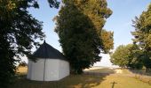
POI Bièvre - Sint Hubertuskerk - Photo
Tourisme5555
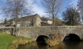
POI Paliseul - Carlsbourg Station - Photo
Tourisme5555
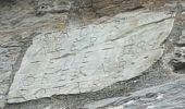
POI Bièvre - Een rare steen - Photo
Tourisme5555
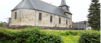
POI Paliseul - Our, één van de mooiste dorpen van Wallonië - Photo
Tourisme5555

Plaatsbepaling

Land:
Belgium
Regio :
Wallonië
Departement/Provincie :
Namen
Gemeente :
Bièvre
Locatie:
Unknown
Vertrek:(UTM)
644263 ; 5528748 (31U) N.

Wandeltochten in de omgeving

Tocht Stappen Bièvre - RB-Na-31-Un pays d’étangs et de pépinières - Photo
Stappen
PRO

Stappen

Zeer moeilijk
(5)
Bièvre, Wallonië, Namen, Belgium
21 km | 27 km-effort
6h 14min
Ja
Tocht Stappen Bouillon - RB-Lu-12 - Premier contact avec la Semois au Tombeau du Géant - Photo
Stappen
PRO

Stappen

Zeer moeilijk
(6)
Bouillon, Wallonië, Luxemburg, Belgium
19,1 km | 27 km-effort
6h 7min
Ja
Tocht Stappen Bièvre - RB-Na-31-Racc_Un-pays-d’étangs-et-de-pépinières - Photo
Stappen
PRO

Stappen

Zeer moeilijk
(2)
Bièvre, Wallonië, Namen, Belgium
16,1 km | 21 km-effort
4h 49min
Ja
Tocht Stappen Bièvre - La roche mouselle bv11 - Photo
Stappen
termic_1

Stappen

Gemakkelijk
(2)
Bièvre, Wallonië, Namen, Belgium
5,5 km | 7,2 km-effort
1h 27min
Ja
Tocht Stappen Bièvre - Promenade de la Roche Mouselle - Petit-Fays - Photo
Stappen
GUIDE
Desrumaux

Stappen

Medium
Bièvre, Wallonië, Namen, Belgium
5,5 km | 7,2 km-effort
1h 38min
Ja
Tocht Stappen Paliseul - Marche ADEPS à Carlbourg. 9 km 200 - Photo
Stappen
GUIDE
Bernard Gillet

Stappen

Medium
Paliseul, Wallonië, Luxemburg, Belgium
9,4 km | 12 km-effort
1h 56min
Ja
Tocht Stappen Vresse-sur-Semois - Balade à Chairière - Vresse sur Semois - Photo
Stappen
GUIDE
Desrumaux

Stappen

Moeilijk
(2)
Vresse-sur-Semois, Wallonië, Namen, Belgium
10,9 km | 14,7 km-effort
3h 20min
Ja
Tocht Stappen Bièvre - Balade à Bellefontaine - Bièvre - Photo
Stappen
GUIDE
Desrumaux

Stappen

Moeilijk
Bièvre, Wallonië, Namen, Belgium
10 km | 12,9 km-effort
2h 56min
Ja
Tocht Te voet Vresse-sur-Semois - Naglémont - Photo
Te voet
GUIDE+

Te voet

Gemakkelijk
Vresse-sur-Semois, Wallonië, Namen, Belgium
4,9 km | 7,4 km-effort
1h 40min
Ja


Sluiten
Mijn abonnementen