


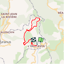


11,2 km | 22 km-effort

Gebruiker


Gratisgps-wandelapplicatie
 SityTrail
IGN / Geografische instituten
SityTrail World
De wereld gaat voor u open
Tocht Stappen van 16,1 km beschikbaar op Provence-Alpes-Côte d'Azur, Alpes-Maritimes, Duranus. Deze tocht wordt voorgesteld door boboazur.
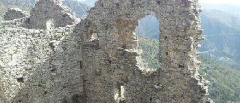
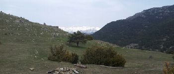
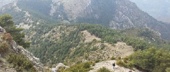
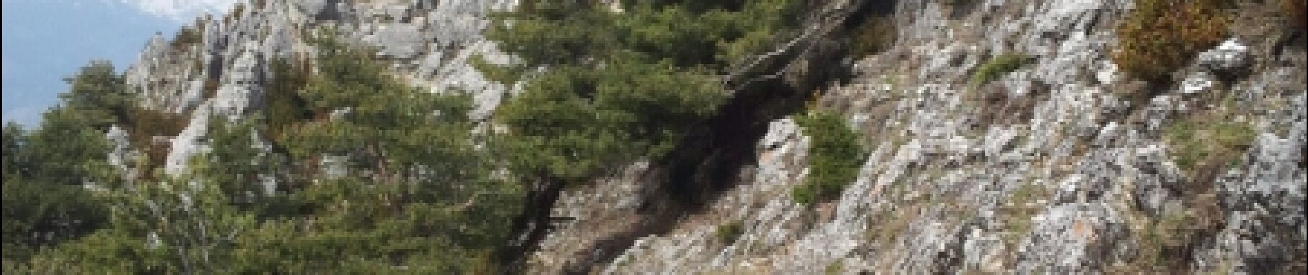
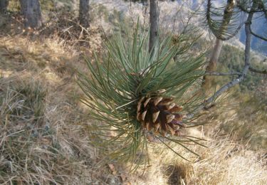
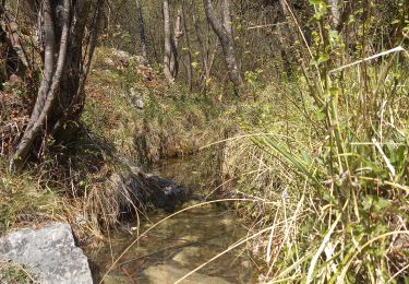
Très belle rando au départ de l'Engarvin, petit hameau apres Coarraze en venant de Nice. Montée en passant par les Ruines de Rocca Sparviera, puis la Cime de Roccassiera d'où l'on jouit d'une vue à 360° mer et cimes du Mercantour.


Stappen
Te voet

Te voet

Stappen

Stappen

Stappen
Stappen

Te voet
Te voet