


18,8 km | 26 km-effort

Gebruiker


Gratisgps-wandelapplicatie
 SityTrail
IGN / Geografische instituten
SityTrail World
De wereld gaat voor u open
Tocht Stappen van 12,9 km beschikbaar op Grand Est, Bas-Rhin, Belmont. Deze tocht wordt voorgesteld door VacheKiri67.
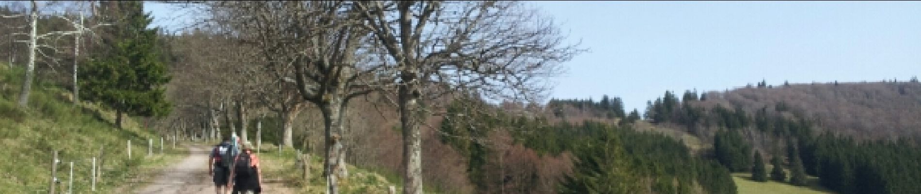
Faite le 30/03/2014 en 5h15 (dont 1h30 de pauses) avec notre fils de 9 ans, nos amis Patrice et Monique et leur filleule Anne.


Paardrijden

Stappen

Stappen
Stappen
Stappen
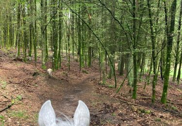
Paardrijden

Paardrijden

Paardrijden

Te voet