


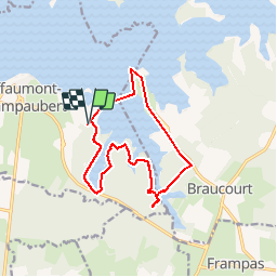

19,5 km | 22 km-effort


Gebruiker


Gratisgps-wandelapplicatie
 SityTrail
IGN / Geografische instituten
SityTrail World
De wereld gaat voor u open
Tocht Stappen van 13,2 km beschikbaar op Grand Est, Marne, Giffaumont-Champaubert. Deze tocht wordt voorgesteld door JD51290.
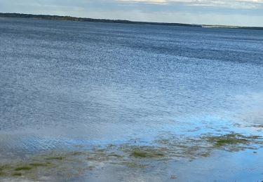
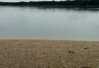
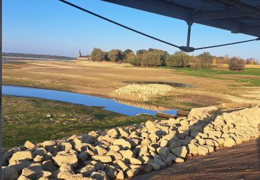
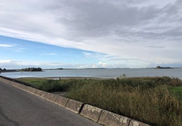
Randonnée dite entre Dames et Chevalier,tour d''un plan d''eau par des sous bois ponctué de beau points de vue sur le lac par des sentes et passerelles et retour par la route et église de Champaubert
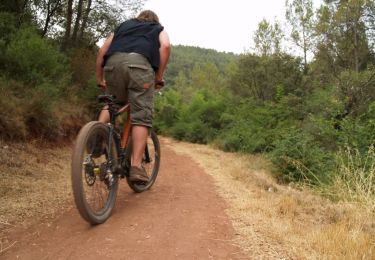
Mountainbike

Mountainbike
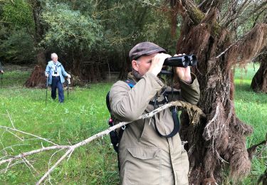
Stappen
Stappen
Wegfiets
Stappen

Stappen
Stappen

sport