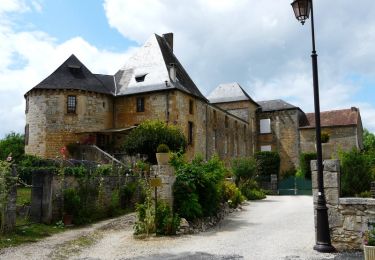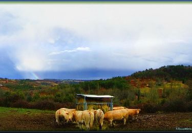

Azérat Douime

YV24
Gebruiker

Lengte
12,4 km

Max. hoogte
294 m

Positief hoogteverschil
217 m

Km-Effort
15,3 km

Min. hoogte
131 m

Negatief hoogteverschil
220 m
Boucle
Ja
Datum van aanmaak :
2014-12-10 00:00:00.0
Laatste wijziging :
2014-12-10 00:00:00.0
3h17
Moeilijkheid : Gemakkelijk

Gratisgps-wandelapplicatie
Over ons
Tocht Stappen van 12,4 km beschikbaar op Nieuw-Aquitanië, Dordogne, Azerat. Deze tocht wordt voorgesteld door YV24.
Beschrijving
PDIPR Azérat Boucle du Douime.
Dépar parking au dessus de la mairie.
Tracé sympa, varié, vallonné, bien balisé et panneauté. Plusieurs jolis hameaux sur le parcours.
Plaatsbepaling
Land:
France
Regio :
Nieuw-Aquitanië
Departement/Provincie :
Dordogne
Gemeente :
Azerat
Locatie:
Unknown
Vertrek:(Dec)
Vertrek:(UTM)
352599 ; 5001281 (31T) N.
Opmerkingen
Wandeltochten in de omgeving

Du Verdoyant à Saint Léon-sur-Vézère


Mountainbike
Moeilijk
Thenon,
Nieuw-Aquitanië,
Dordogne,
France

30 km | 40 km-effort
3h 0min
Neen

Du Verdoyant à St Orse avec la boucle du Boscornut - Thenon


Mountainbike
Moeilijk
Thenon,
Nieuw-Aquitanië,
Dordogne,
France

35 km | 46 km-effort
3h 0min
Neen

Boucle de la Bachellerie


Stappen
Moeilijk
La Bachellerie,
Nieuw-Aquitanië,
Dordogne,
France

11,9 km | 15,8 km-effort
3h 35min
Ja

Au départ du Verdoyant - Thenon


Mountainbike
Moeilijk
Thenon,
Nieuw-Aquitanië,
Dordogne,
France

34 km | 45 km-effort
3h 0min
Ja

2


Mountainbike
Zeer moeilijk
La Chapelle-Saint-Jean,
Nieuw-Aquitanië,
Dordogne,
France

41 km | 52 km-effort
1h 47min
Neen

la bachellerie (24) azeirat st rabier


Stappen
Moeilijk
La Bachellerie,
Nieuw-Aquitanië,
Dordogne,
France

12,3 km | 16,3 km-effort
3h 28min
Ja

chateau coderc


Stappen
Gemakkelijk
Saint-Rabier,
Nieuw-Aquitanië,
Dordogne,
France

7,1 km | 9 km-effort
1h 52min
Ja

Auriac Azérat 16km


Stappen
Gemakkelijk
Auriac-du-Périgord,
Nieuw-Aquitanië,
Dordogne,
France

15,3 km | 21 km-effort
4h 11min
Ja

Gd Coderc Grange d'Ans 12 km


Stappen
Gemakkelijk
Saint-Rabier,
Nieuw-Aquitanië,
Dordogne,
France

11,7 km | 15,5 km-effort
3h 18min
Ja


 SityTrail


