


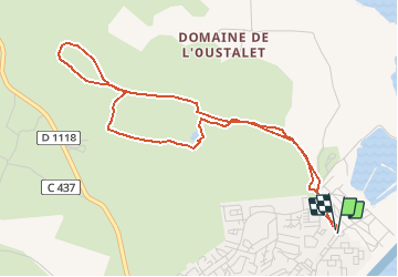

4,4 km | 5,3 km-effort


Gebruiker


Gratisgps-wandelapplicatie
 SityTrail
IGN / Geografische instituten
SityTrail World
De wereld gaat voor u open
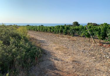
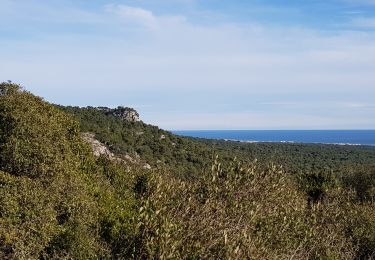
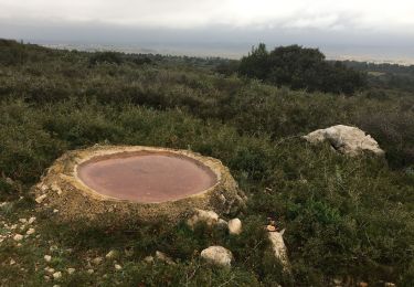
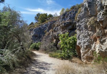
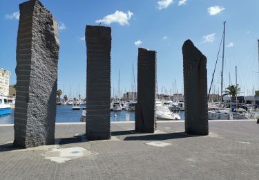
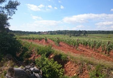
Tocht Stappen van 5,3 km beschikbaar op Occitanië, Aude, Fleury. Deze tocht wordt voorgesteld door pidjam.
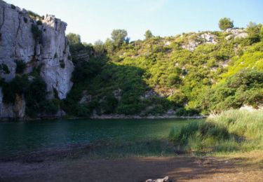
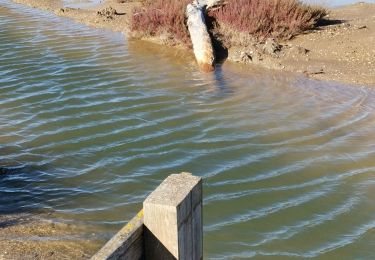
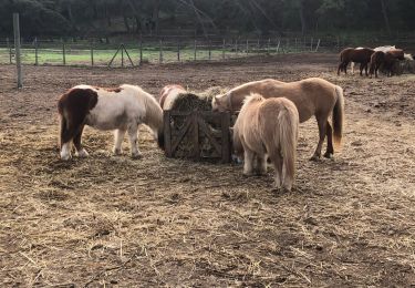
cliquer pour <a href=https://photos.app.goo.gl/5Y4XzKntL3YnOfm22 target=_blank>voir des photos</a> - d'autres parcours sur <a href='http://www.vertygo.org' target=_blank> www.vertygo.org</a>
Stappen
Stappen
Stappen
Stappen
Stappen
Stappen
Mountainbike
Mountainbike
Stappen