


13,3 km | 16,4 km-effort

Gebruiker


Gratisgps-wandelapplicatie
 SityTrail
IGN / Geografische instituten
SityTrail World
De wereld gaat voor u open
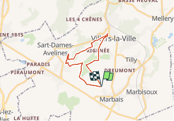
Tocht Stappen van 10 km beschikbaar op Wallonië, Waals-Brabant, Villers-la-Ville. Deze tocht wordt voorgesteld door Chantheys.
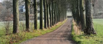
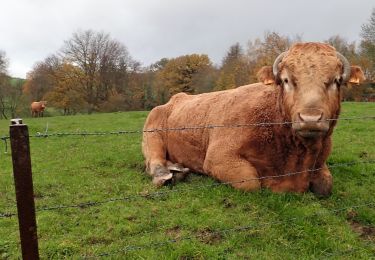
Balade dans la campagne brabançonne alternant champs de culture, prés, bois,.... majoritairement sur chemins de terre et sentiers, et quelques tronçons sur chemins villageois à faible circulation.
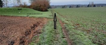
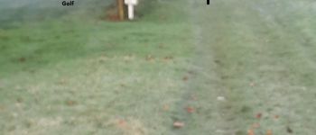
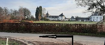
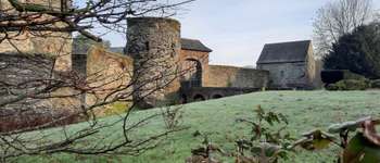
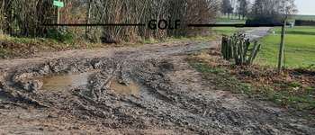
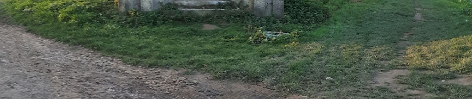
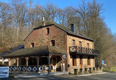
Passage dans le Golf de Rigenée , le long d'un ancien moulin (le Moulin d'Hollers), de la rivière Thyle, d'une ancienne forteresse (Le Châtelet) et du Château d'eau de Sart-Dames-Avelines.
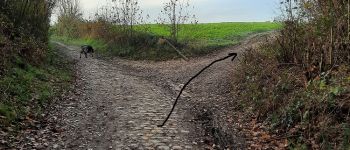
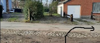
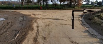
(Ne tenez pas compte des balisages que vous rencontrerez)
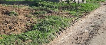
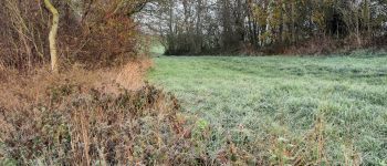
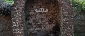
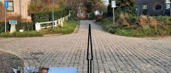
 au Châtelet - Photo 1")
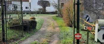
 au Châtelet - Photo 2")
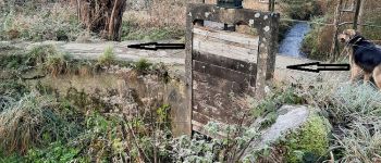
 au Châtelet - Photo 3")
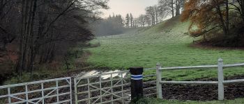
 au Châtelet - Photo 4")
 au Châtelet - Photo 5")
 au Châtelet - Photo 6")
 au Châtelet - Photo 7")
 au Châtelet - Photo 8")
 au Châtelet - Photo 9")
 au Châtelet - Photo 10")
 au Châtelet - Photo 11")
 au Châtelet - Photo 12")
 au Châtelet - Photo 13")
 au Châtelet - Photo 14")

Stappen

Stappen

Stappen

Stappen

Stappen

Stappen

Stappen
Stappen
Stappen