

Tête de Rigaud

PEBREJOSIANE
Gebruiker

Lengte
13,5 km

Max. hoogte
1873 m

Positief hoogteverschil
1211 m

Km-Effort
30 km

Min. hoogte
842 m

Negatief hoogteverschil
1174 m
Boucle
Ja
Datum van aanmaak :
2014-12-10 00:00:00.0
Laatste wijziging :
2014-12-10 00:00:00.0
6h00
Moeilijkheid : Medium

Gratisgps-wandelapplicatie
Over ons
Tocht Stappen van 13,5 km beschikbaar op Provence-Alpes-Côte d'Azur, Alpes-Maritimes, Pierlas. Deze tocht wordt voorgesteld door PEBREJOSIANE.
Beschrijving
Rando dont le départ se fait sur la route du Cians balise 211 et qui se déroule en totalité dans les pélites rouges.
Superbe point de vue de la tête de Rigaud sur le Mercantour
Plaatsbepaling
Land:
France
Regio :
Provence-Alpes-Côte d'Azur
Departement/Provincie :
Alpes-Maritimes
Gemeente :
Pierlas
Locatie:
Unknown
Vertrek:(Dec)
Vertrek:(UTM)
338131 ; 4876180 (32T) N.
Opmerkingen
Wandeltochten in de omgeving
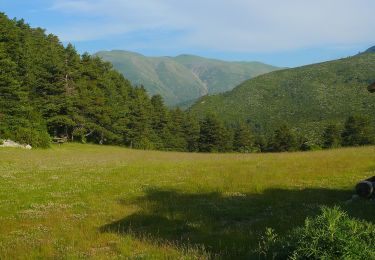
Tour du Mont de Lieuche


Te voet
Medium
Pierlas,
Provence-Alpes-Côte d'Azur,
Alpes-Maritimes,
France

12,2 km | 20 km-effort
4h 36min
Ja
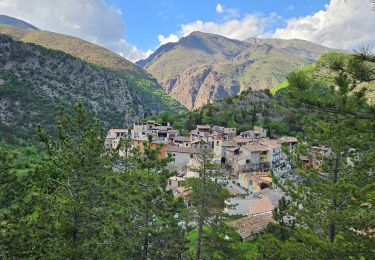
Mairola de Rigaud, chapelles St Julien et St Sauveur


Stappen
Medium
Rigaud,
Provence-Alpes-Côte d'Azur,
Alpes-Maritimes,
France

16,6 km | 30 km-effort
6h 50min
Ja

Tête de Rigaud


Sneeuwschoenen
Moeilijk
Rigaud,
Provence-Alpes-Côte d'Azur,
Alpes-Maritimes,
France

11,6 km | 26 km-effort
5h 53min
Ja
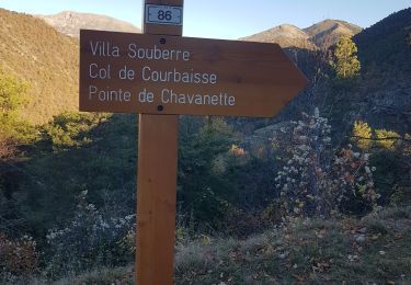
thiery Villa Soubere


Stappen
Medium
Thiéry,
Provence-Alpes-Côte d'Azur,
Alpes-Maritimes,
France

7,9 km | 15,2 km-effort
5h 13min
Ja
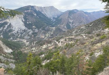
Lieuche brec d ilonse


Stappen
Zeer moeilijk
Lieuche,
Provence-Alpes-Côte d'Azur,
Alpes-Maritimes,
France

20 km | 36 km-effort
5h 10min
Ja
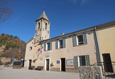
Circuit du Grand Palier


Te voet
Gemakkelijk
Lieuche,
Provence-Alpes-Côte d'Azur,
Alpes-Maritimes,
France

9,3 km | 14,6 km-effort
3h 18min
Ja
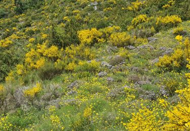
PIERĹAS FFRS


Stappen
Medium
Pierlas,
Provence-Alpes-Côte d'Azur,
Alpes-Maritimes,
France

10,1 km | 17 km-effort
3h 40min
Ja
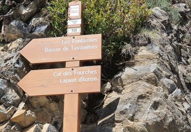
SINNE PAR PIERLAS


Stappen
Medium
Pierlas,
Provence-Alpes-Côte d'Azur,
Alpes-Maritimes,
France

10,5 km | 17,4 km-effort
3h 38min
Ja
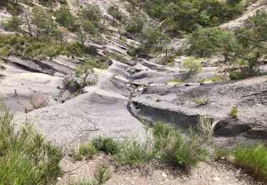
Le Brec d'Ilonse depuis Thiery


Stappen
Moeilijk
Thiéry,
Provence-Alpes-Côte d'Azur,
Alpes-Maritimes,
France

18,4 km | 33 km-effort
5h 20min
Ja


 SityTrail


