9,3 km | 11,6 km-effort
Autour de la Peyrouse à Fontcouverte
SoleilMoussanais
Gebruiker
Lengte
7,6 km
Max. hoogte
189 m
Positief hoogteverschil
164 m
Km-Effort
9,7 km
Min. hoogte
80 m
Negatief hoogteverschil
164 m
Boucle
Ja
Datum van aanmaak :
2020-10-26 20:54:26.562
Laatste wijziging :
2020-10-26 20:57:27.587
--
Moeilijkheid : Gemakkelijk
Gratisgps-wandelapplicatie
Over ons
Tocht Te voet van 7,6 km beschikbaar op Occitanië, Aude, Fontcouverte. Deze tocht wordt voorgesteld door SoleilMoussanais.
Beschrijving
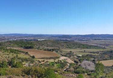
Découverte d'un village inscrit dans l'histoire depuis 829.
Plaatsbepaling
Land:
France
Regio :
Occitanië
Departement/Provincie :
Aude
Gemeente :
Fontcouverte
Locatie:
Unknown
Vertrek:(Dec)
Vertrek:(UTM)
474591 ; 4779480 (31T) N.
Opmerkingen
Wandeltochten in de omgeving
Sur les pas de Roland - Signal d'Alaric - La Caune
Stappen
Zeer moeilijk
Moux,
Occitanië,
Aude,
France
17 km | 26 km-effort
5h 25min
Ja
MONTBRUN DES CORBIERES rocher du renard
Stappen
Gemakkelijk
Montbrun-des-Corbières,
Occitanië,
Aude,
France
7,4 km | 9,3 km-effort
1h 30min
Ja
Le signal de l'alaric
Stappen
Medium
Moux,
Occitanië,
Aude,
France
24 km | 32 km-effort
3h 37min
Neen
FONCOUVERTE - variante au tracé balisé
Stappen
Gemakkelijk
(1)
Fontcouverte,
Occitanië,
Aude,
France
7,8 km | 10 km-effort
2h 6min
Ja
CONILHAC Les Eoliennes
Stappen
Heel gemakkelijk
(1)
Conilhac-Corbières,
Occitanië,
Aude,
France
7,4 km | 9,5 km-effort
1h 27min
Ja
CONILHAC - lausines
Stappen
Heel gemakkelijk
Conilhac-Corbières,
Occitanië,
Aude,
France
4,8 km | 6,6 km-effort
1h 31min
Ja
Fabrezan
Andere activiteiten
Gemakkelijk
Fabrezan,
Occitanië,
Aude,
France
5,3 km | 6,8 km-effort
1h 54min
Neen
Défi de l'Alaric 2012 - Fontcouverte
Lopen
Moeilijk
Fontcouverte,
Occitanië,
Aude,
France
18,1 km | 26 km-effort
2h 30min
Ja