


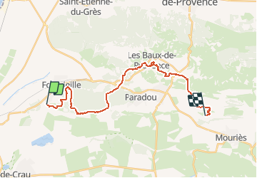

14,2 km | 17,2 km-effort


Gebruiker


Gratisgps-wandelapplicatie
 SityTrail
IGN / Geografische instituten
SityTrail World
De wereld gaat voor u open
Tocht Paardrijden van 25 km beschikbaar op Provence-Alpes-Côte d'Azur, Bouches-du-Rhône, Fontvieille. Deze tocht wordt voorgesteld door AnaisLambert.
Pique-nique à la Chapelle des Trémaïé.
Attention, nous sommes passés par une petite porte à la sortie du golf.

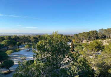
Stappen
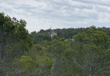
Stappen
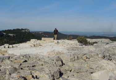
Stappen
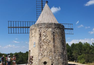
Te voet

Stappen
Stappen
Stappen
Stappen
Stappen