


16,2 km | 18 km-effort

Gebruiker


Gratisgps-wandelapplicatie
 SityTrail
IGN / Geografische instituten
SityTrail World
De wereld gaat voor u open
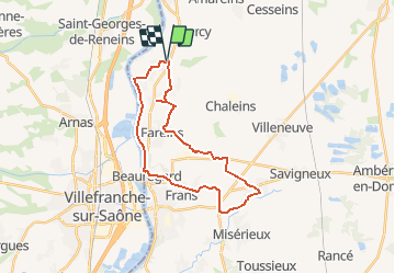
Tocht Stappen van 26 km beschikbaar op Auvergne-Rhône-Alpes, Ain, Messimy-sur-Saône. Deze tocht wordt voorgesteld door dd01090.
<l Les châteaux de Messimy - Fareins (Histoire des Farinistes) - Ars (Basilique - musée de cire) - Cibeins - Beauregard - Chemin de hallage - retour Messimy.
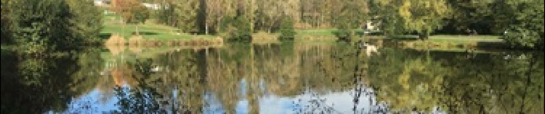
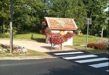
 - Photo 1")
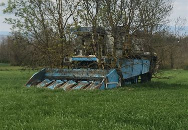
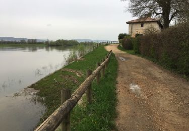
 - Photo 2")
Stappen

Stappen

Stappen

Fiets

Paard
Stappen

Paardrijden
Fiets


sport