


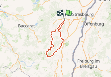

13,6 km | 17,9 km-effort


Gebruiker GUIDE


Gratisgps-wandelapplicatie
 SityTrail
IGN / Geografische instituten
SityTrail World
De wereld gaat voor u open
Tocht Paardrijden van 192 km beschikbaar op Grand Est, Bas-Rhin, Gresswiller. Deze tocht wordt voorgesteld door holtzv.
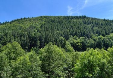
2020-10-13 Rando CVA Gresswiller Hohwald
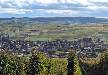
2020-10-14 Rando CVA Hohwald Ribeauville
2020-10-15 Rando CVA Ribeauville Orbey
2020-10-16 Rando CVA Orbey Aubure
2020-10-17 Rando CVA Aubure Climont
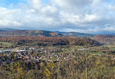
2020-10-18 Rando CVA Climont Gresswiller

Stappen

Stappen

Stappen

Stappen
Mountainbike
Paardrijden

Paardrijden

Stappen
Paardrijden