


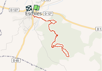

9,7 km | 11,9 km-effort


Gebruiker


Gratisgps-wandelapplicatie
 SityTrail
IGN / Geografische instituten
SityTrail World
De wereld gaat voor u open
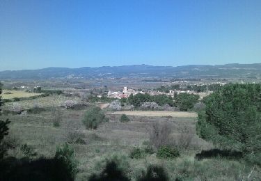
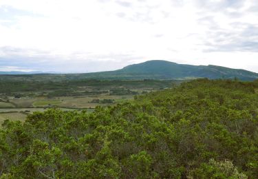
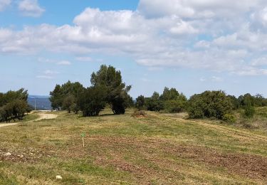
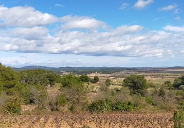
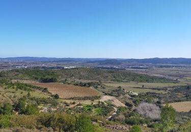
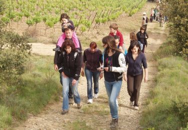
Tocht Stappen van 4,6 km beschikbaar op Occitanië, Aude, Escales. Deze tocht wordt voorgesteld door Jovila.
Sentier d'Emilie.
Se garer au parking derrière l'église.
De là suivre le balisage jaune.
Stappen

Stappen
Stappen
Stappen
Stappen
Stappen
Stappen
Stappen

Stappen