23 km | 32 km-effort
Rebouc G4
LouisROGER
Gebruiker GUIDE
Lengte
4,4 km
Max. hoogte
697 m
Positief hoogteverschil
112 m
Km-Effort
5,9 km
Min. hoogte
583 m
Negatief hoogteverschil
112 m
Boucle
Ja
Datum van aanmaak :
2020-10-18 13:49:31.179
Laatste wijziging :
2020-10-18 18:18:23.257
1h10
Moeilijkheid : Heel gemakkelijk
1h00
Moeilijkheid : Heel gemakkelijk
Gratisgps-wandelapplicatie
Over ons
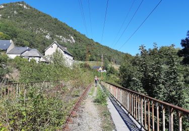
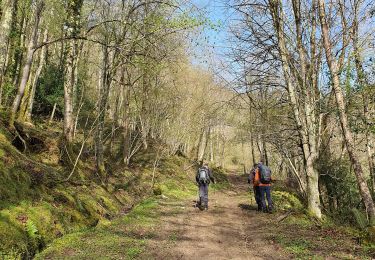
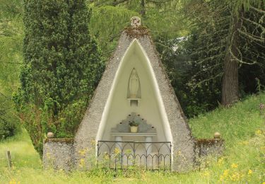
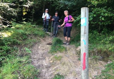
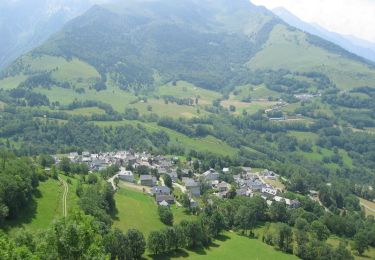
Tocht Stappen van 4,4 km beschikbaar op Occitanië, Hautes-Pyrénées, Hèches. Deze tocht wordt voorgesteld door LouisROGER.
Beschrijving
jolie petite promenade sans aucune difficulté!
Plaatsbepaling
Land:
France
Regio :
Occitanië
Departement/Provincie :
Hautes-Pyrénées
Gemeente :
Hèches
Locatie:
Unknown
Vertrek:(Dec)
Vertrek:(UTM)
286244 ; 4764284 (31T) N.
Opmerkingen
Wandeltochten in de omgeving
FEU 2015 - Etape 3
Stappen
Gemakkelijk
(3)
Esparros,
Occitanië,
Hautes-Pyrénées,
France
6h 45min
Neen
FEU 2015 - Etape 2
Stappen
Gemakkelijk
(1)
Lortet,
Occitanië,
Hautes-Pyrénées,
France
7,8 km | 12,5 km-effort
2h 34min
Neen
Pacte des loups
Stappen
Medium
(2)
Esparros,
Occitanië,
Hautes-Pyrénées,
France
10,9 km | 18 km-effort
Onbekend
Ja
REBOUC sortie commune LPC trace revue et corrigée "3822705"
Stappen
Medium
Hèches,
Occitanië,
Hautes-Pyrénées,
France
6,1 km | 8,5 km-effort
1h 55min
Ja
plo de Berdaoulou
Stappen
Medium
Sarrancolin,
Occitanië,
Hautes-Pyrénées,
France
12,9 km | 26 km-effort
7h 12min
Ja
Voie d'Aure
Te voet
Zeer moeilijk
Lortet,
Occitanië,
Hautes-Pyrénées,
France
56 km | 87 km-effort
19h 50min
Neen
Pacte des loups
Stappen
Medium
Esparros,
Occitanië,
Hautes-Pyrénées,
France
7,8 km | 13,3 km-effort
5h 27min
Ja
Le col d'Azet en VTT
Mountainbike
Zeer moeilijk
Sarrancolin,
Occitanië,
Hautes-Pyrénées,
France
28 km | 43 km-effort
2h 30min
Neen
esparros pacte des l 2023
Stappen
Moeilijk
Esparros,
Occitanië,
Hautes-Pyrénées,
France
10,7 km | 17,5 km-effort
4h 41min
Ja