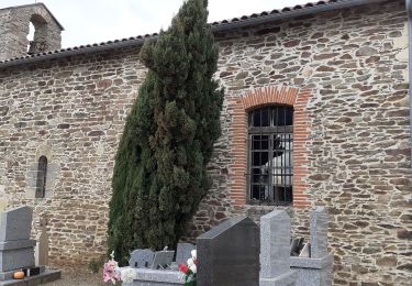
7,6 km | 9,9 km-effort
track
tercla
Gebruiker
Lengte
9,4 km
Max. hoogte
453 m
Positief hoogteverschil
254 m
Km-Effort
12,8 km
Min. hoogte
336 m
Negatief hoogteverschil
255 m
Boucle
Ja
Datum van aanmaak :
2020-10-16 13:25:53.437
Laatste wijziging :
2020-10-16 13:29:20.249
--
Moeilijkheid : Gemakkelijk
Gratisgps-wandelapplicatie
Over ons
Tocht Te voet van 9,4 km beschikbaar op Occitanië, Tarn, Terre-de-Bancalié. Deze tocht wordt voorgesteld door tercla.
Plaatsbepaling
Land:
France
Regio :
Occitanië
Departement/Provincie :
Tarn
Gemeente :
Terre-de-Bancalié
Locatie:
Terre-Clapier
Vertrek:(Dec)
Vertrek:(UTM)
443797 ; 4856073 (31T) N.
Opmerkingen
Wandeltochten in de omgeving
Theoulet
sport
Heel gemakkelijk
Mouzieys-Teulet,
Occitanië,
Tarn,
France
7,6 km | 9,9 km-effort
Onbekend
Ja
2021-12-09_09h07m15_Cirkwi-Le_Sentier_de_Calle
Te voet
Gemakkelijk
Villefranche-d'Albigeois,
Occitanië,
Tarn,
France
7,2 km | 9,9 km-effort
2h 15min
Ja
rando Puechs en Assou Fauch
Stappen
Medium
Fauch,
Occitanië,
Tarn,
France
12,7 km | 16,4 km-effort
2h 38min
Ja
Boucle Lou Cami de Theoullet / Les trois Ruisseaux
Stappen
Gemakkelijk
Mouzieys-Teulet,
Occitanië,
Tarn,
France
18 km | 23 km-effort
7h 16min
Ja
Entre vallons et colines
Stappen
Gemakkelijk
Terre-de-Bancalié,
Occitanië,
Tarn,
France
10,1 km | 13,8 km-effort
2h 40min
Ja
Puech En ASSOU
Stappen
Gemakkelijk
Fauch,
Occitanië,
Tarn,
France
12,7 km | 16,4 km-effort
3h 30min
Ja
belle randonnée