


8,2 km | 10 km-effort


Gebruiker


Gratisgps-wandelapplicatie
 SityTrail
IGN / Geografische instituten
SityTrail World
De wereld gaat voor u open
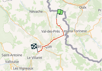
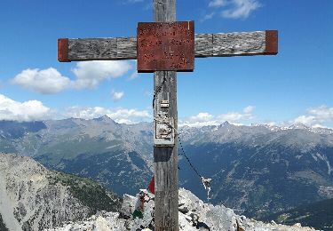
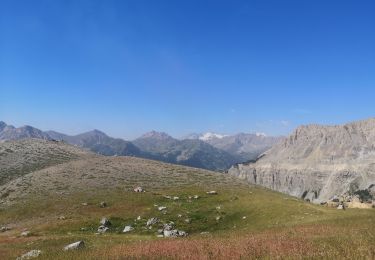
Tocht Te voet van 23 km beschikbaar op Provence-Alpes-Côte d'Azur, Hautes-Alpes, Névache. Deze tocht wordt voorgesteld door MathieuBourgois.
Montgenève 10km et 360D
Envers du Fontenil 17km et 400D
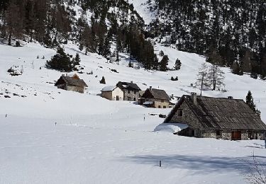
Briançon, tous services
Camping des 5 vallées 23km et 520D

Stappen

Stappen
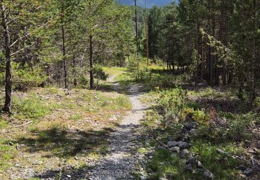
Stappen
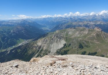
Stappen

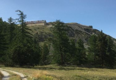
Stappen
Stappen
Sneeuwschoenen
Stappen