


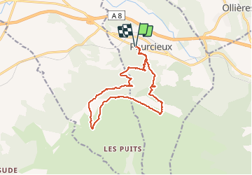

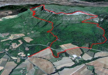
17,3 km | 27 km-effort

Gebruiker


Gratisgps-wandelapplicatie
 SityTrail
IGN / Geografische instituten
SityTrail World
De wereld gaat voor u open
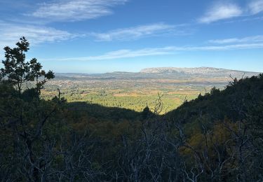
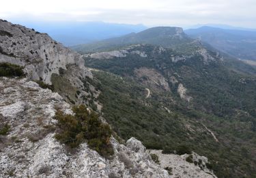
Tocht Stappen van 15,5 km beschikbaar op Provence-Alpes-Côte d'Azur, Var, Pourcieux. Deze tocht wordt voorgesteld door phidge.
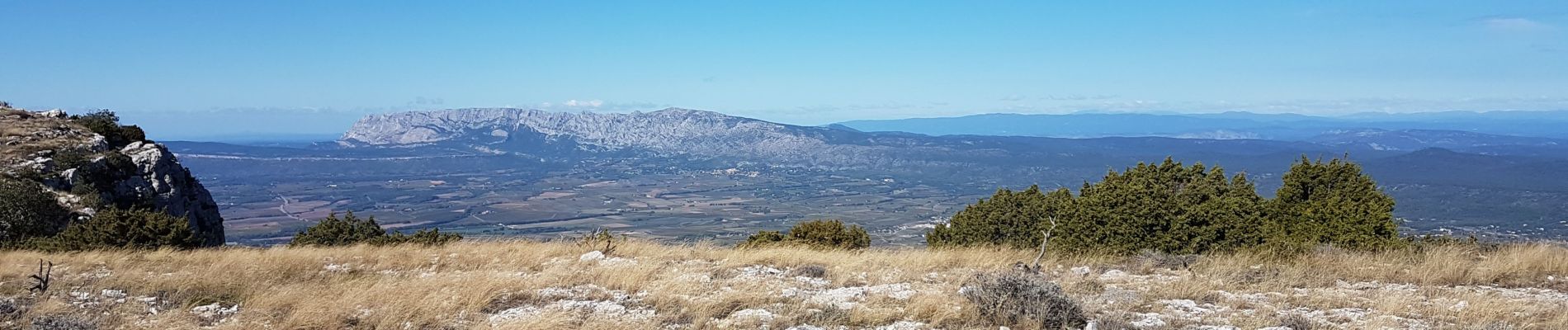
P3 T2 Ne pas prendre la montée dans le perrier (à l'est de la rando) mais allez un peu plus loin ce doit être plus facile.


Stappen

Stappen
Stappen
Stappen
Stappen
Stappen
Stappen
Stappen
Stappen