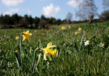
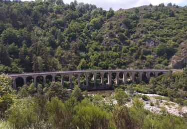
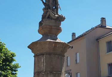
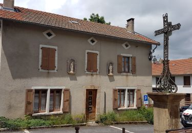
7,9 km | 10,2 km-effort
Boucle Totale Nouveau chaos granitique avec points hebergeurs
Lozère Cheval
Gebruiker
Lengte
221 km
Max. hoogte
1699 m
Positief hoogteverschil
5899 m
Km-Effort
300 km
Min. hoogte
617 m
Negatief hoogteverschil
5897 m
Boucle
Neen
Datum van aanmaak :
2020-10-12 12:16:50.249
Laatste wijziging :
2021-12-09 17:02:28.057
18m
Moeilijkheid : Gemakkelijk
Gratisgps-wandelapplicatie
Over ons
Tocht Paardrijden van 221 km beschikbaar op Occitanië, Lozère, Naussac-Fontanes. Deze tocht wordt voorgesteld door Lozère Cheval.
Beschrijving
Sans camping Val Cévennes ni Mas Barque à rajouter

POI's
Plaatsbepaling
Land:
France
Regio :
Occitanië
Departement/Provincie :
Lozère
Gemeente :
Naussac-Fontanes
Locatie:
Unknown
Vertrek:(Dec)
Vertrek:(UTM)
562256 ; 4957723 (31T) N.
Opmerkingen
Wandeltochten in de omgeving
Espace VTT FFC du Gévaudan - n°08 - Circuit du Ras Chambon
Mountainbike
Moeilijk
(2)
Langogne,
Occitanië,
Lozère,
France
17,2 km | 22 km-effort
2h 15min
Ja
Langogne, le nouveau monde
Wegfiets
Medium
Langogne,
Occitanië,
Lozère,
France
68 km | 85 km-effort
4h 31min
Ja
NAUSSAC - COL DE LA PIERRE PLANTEE
Wegfiets
Gemakkelijk
Langogne,
Occitanië,
Lozère,
France
76 km | 91 km-effort
6h 20min
Ja
NAUSSAC - FORÊT DE MERCOIRE
Wegfiets
Medium
Langogne,
Occitanië,
Lozère,
France
68 km | 81 km-effort
5h 40min
Ja
NAUSSAC - CHAPEAUROUX
Wegfiets
Medium
Langogne,
Occitanië,
Lozère,
France
74 km | 94 km-effort
6h 29min
Neen
NAUSSAC - COL CROIX DE BOR ET COL DES 3 SOEURS
Wegfiets
Medium
Langogne,
Occitanië,
Lozère,
France
67 km | 83 km-effort
5h 19min
Ja
Auroux en passant par Soulage et la croix de Parpaillon
Stappen
Medium
Auroux,
Occitanië,
Lozère,
France
9,6 km | 13,3 km-effort
3h 17min
Ja