


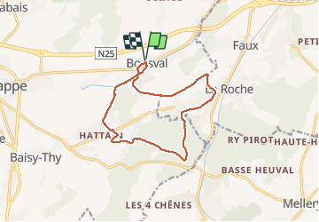

13,3 km | 16,4 km-effort


Gebruiker GUIDE


Gratisgps-wandelapplicatie
 SityTrail
IGN / Geografische instituten
SityTrail World
De wereld gaat voor u open
Tocht Te voet van 12,3 km beschikbaar op Wallonië, Waals-Brabant, Genepiën. Deze tocht wordt voorgesteld door Desrumaux.
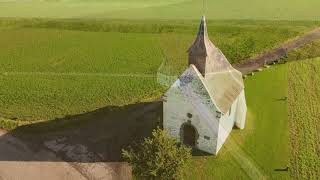
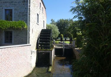
Très agréable balade au départ de Bousval vers le village de Tangissart en passant par la chapelle du try-au-Chêne, le bois de Hez et le Ry de Falise.


Stappen

Stappen

Stappen

Stappen

Stappen

Stappen

Stappen

Stappen
Stappen