


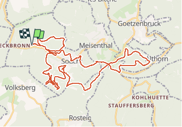

13,1 km | 17,5 km-effort


Gebruiker


Gratisgps-wandelapplicatie
 SityTrail
IGN / Geografische instituten
SityTrail World
De wereld gaat voor u open
Tocht Paardrijden van 28 km beschikbaar op Grand Est, Moselle, Soucht. Deze tocht wordt voorgesteld door Eve De Marco.
Pour cavaliers et chevaux confirmés


Stappen
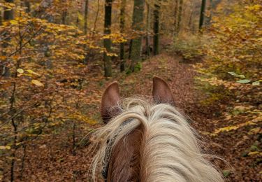
Paardrijden
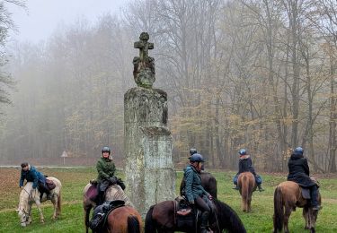
Paardrijden
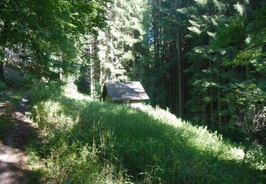
Te voet
Te voet
Te voet
Te voet
Te voet
Te voet