


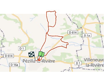

6,7 km | 11,4 km-effort


Gebruiker


Gratisgps-wandelapplicatie
 SityTrail
IGN / Geografische instituten
SityTrail World
De wereld gaat voor u open
Tocht Stappen van 9,1 km beschikbaar op Occitanië, Pyrénées-Orientales, Pézilla-la-Rivière. Deze tocht wordt voorgesteld door MarcOBRECHT.
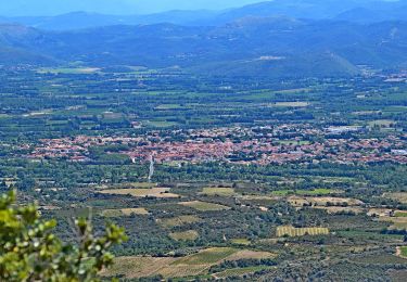
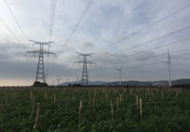
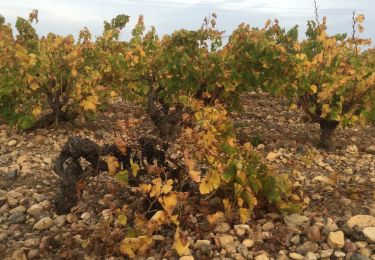
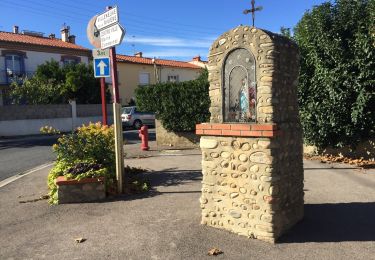
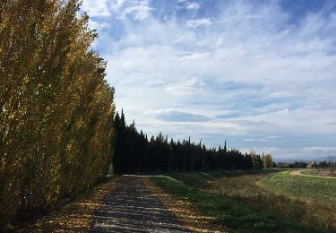
Depuis le centre ville vers le champs d'éolienne par le vignoble et retour par les vergers et maraîcher. Visite autour de l'eglise
Te voet
Stappen

Lopen
Stappen
Stappen
Stappen
Stappen

Stappen
Stappen