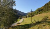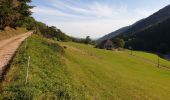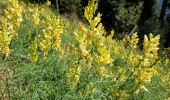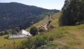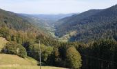

Crête granitique et forêts profondes

VacheKiri67
Gebruiker

Lengte
13,7 km

Max. hoogte
1019 m

Positief hoogteverschil
647 m

Km-Effort
22 km

Min. hoogte
529 m

Negatief hoogteverschil
647 m
Boucle
Ja
Datum van aanmaak :
2020-09-20 08:12:22.253
Laatste wijziging :
2020-10-18 12:47:12.001
3h56
Moeilijkheid : Medium

Gratisgps-wandelapplicatie
Over ons
Tocht Stappen van 13,7 km beschikbaar op Grand Est, Haut-Rhin, Sainte-Marie-aux-Mines. Deze tocht wordt voorgesteld door VacheKiri67.
Beschrijving
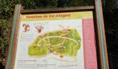
Faite le 20/09/2020. D'après "Passion Vosges - Escapade en Alsace Centrale" N°24 : Crête granitique et forêts profondes. Durée indiqué pour le circuit : 4h30. Départ : parking du parc minier Tellure.
Plaatsbepaling
Land:
France
Regio :
Grand Est
Departement/Provincie :
Haut-Rhin
Gemeente :
Sainte-Marie-aux-Mines
Locatie:
Unknown
Vertrek:(Dec)
Vertrek:(UTM)
361516 ; 5341665 (32U) N.
Opmerkingen
Wandeltochten in de omgeving

Le Bonhomme - Circuit du village


Stappen
Gemakkelijk
(1)
Le Bonhomme,
Grand Est,
Haut-Rhin,
France

3 km | 5,3 km-effort
1h 30min
Ja
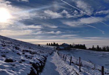
2021-02-14 Marche Bagenelles Brezouard Fuste de Etoile


Stappen
Zeer moeilijk
Sainte-Marie-aux-Mines,
Grand Est,
Haut-Rhin,
France

17,1 km | 27 km-effort
6h 6min
Ja
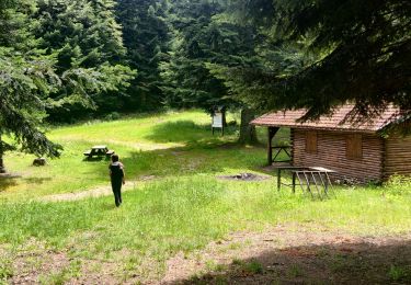
2020-06-20 Marche Tete du Violu Col de Ste Marie


Stappen
Heel gemakkelijk
Sainte-Marie-aux-Mines,
Grand Est,
Haut-Rhin,
France

14,1 km | 21 km-effort
4h 14min
Ja

20130508


Stappen
Heel gemakkelijk
(1)
Ban-de-Laveline,
Grand Est,
Vogezen,
France

7,6 km | 11,1 km-effort
2h 19min
Ja

ACPL Ban de laveline yoigo


Paardrijden
Gemakkelijk
Ban-de-Laveline,
Grand Est,
Vogezen,
France

13 km | 18,9 km-effort
2h 29min
Ja

CVL - Rando 25/03/2024 - Col de Chamont


Stappen
Medium
Fréland,
Grand Est,
Haut-Rhin,
France

6,6 km | 9,5 km-effort
2h 15min
Ja

Le Haïcot - Le Petit Brézouard - Le Haïcot


Te voet
Gemakkelijk
(2)
Sainte-Marie-aux-Mines,
Grand Est,
Haut-Rhin,
France

7,1 km | 10,5 km-effort
2h 23min
Ja
Le Bonhomme-le Brézouard


Stappen
Medium
Le Bonhomme,
Grand Est,
Haut-Rhin,
France

15 km | 26 km-effort
4h 34min
Ja
rocher des chèvred


Stappen
Moeilijk
(2)
Sainte-Marie-aux-Mines,
Grand Est,
Haut-Rhin,
France

8,9 km | 13,3 km-effort
2h 40min
Ja


 SityTrail


