


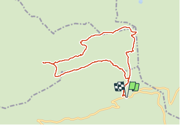


8 km | 11,6 km-effort

Gebruiker


Gratisgps-wandelapplicatie
 SityTrail
IGN / Geografische instituten
SityTrail World
De wereld gaat voor u open
Tocht Stappen van 9,6 km beschikbaar op Auvergne-Rhône-Alpes, Haute-Savoie, Manigod. Deze tocht wordt voorgesteld door djeepee74.
BOUCLE... live le 20200909. Les photos du tracé datent du 09 septembre 2020... les autres sont du 04 septembre 2019.


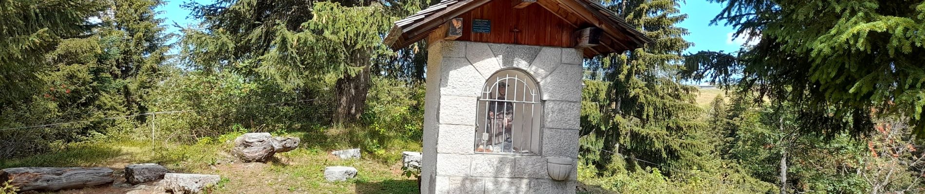
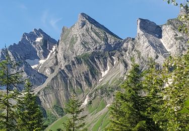
23 fotos in totaal. Klik op een foto om ze allemaal in de galerij weer te geven.

Sneeuwschoenen

Stappen

Stappen

Sneeuwschoenen

Sneeuwschoenen

Mountainbike
Mountainbike

Motor
Stappen