


10,9 km | 13,1 km-effort


Gebruiker


Gratisgps-wandelapplicatie
 SityTrail
IGN / Geografische instituten
SityTrail World
De wereld gaat voor u open
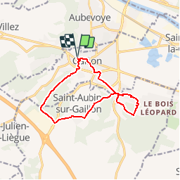
Tocht Stappen van 11,3 km beschikbaar op Normandië, Eure, Gaillon. Deze tocht wordt voorgesteld door douneto.
Rando Mars 2014
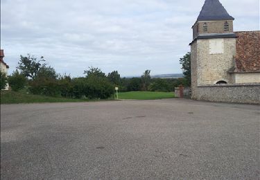
Départ du parking du château de Gaillon.


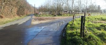
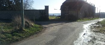
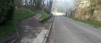
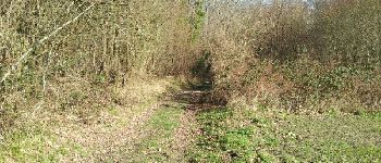
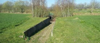
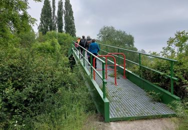
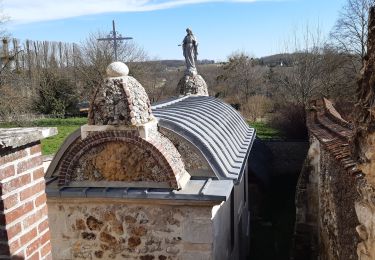
27 fotos in totaal. Klik op een foto om ze allemaal in de galerij weer te geven.
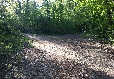
Stappen
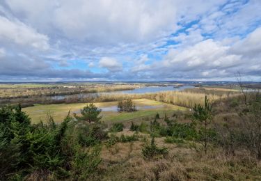
Stappen
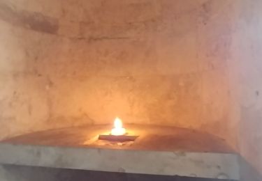
Stappen
Stappen
Stappen
Stappen

Stappen
Stappen
Stappen