


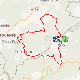

21 km | 27 km-effort


Gebruiker


Gratisgps-wandelapplicatie
 SityTrail
IGN / Geografische instituten
SityTrail World
De wereld gaat voor u open
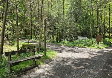
Tocht Stappen van 12,5 km beschikbaar op Wallonië, Luxemburg, Bouillon. Deze tocht wordt voorgesteld door ramagufa.
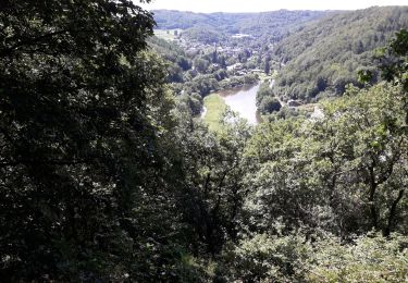
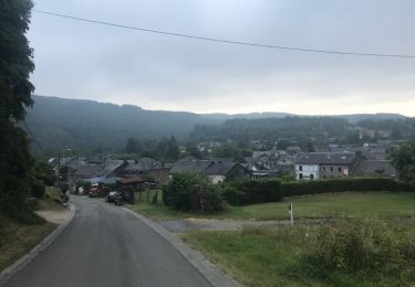
Randonnée que j'appelle "les trois moulins" car de Vivy on part vers le Moulin de Mitauge pour se diriger vers le Moulin de Gros-Fays et retour par le Moulin de la Lîresse.

Stappen

Stappen

Stappen

Stappen

Stappen
Stappen
Stappen
Stappen

Stappen