


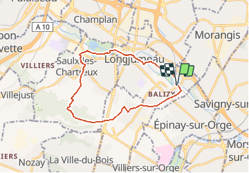

15,5 km | 19,1 km-effort


Gebruiker


Gratisgps-wandelapplicatie
 SityTrail
IGN / Geografische instituten
SityTrail World
De wereld gaat voor u open
Tocht Stappen van 12,1 km beschikbaar op Île-de-France, Essonne, Longjumeau. Deze tocht wordt voorgesteld door albg.
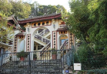
gare de Balizy Gravigny, Arboretum de Longjumeau, clos de la commanderie, bois des templiers, chemin du bouillon, passage sous la N20, Bois du rocher de Saulx
Stappen

Stappen
Stappen

Stappen
Te voet
Te voet
Te voet

Stappen
Stappen