


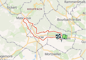

19,9 km | 34 km-effort

Gebruiker


Gratisgps-wandelapplicatie
 SityTrail
IGN / Geografische instituten
SityTrail World
De wereld gaat voor u open
Tocht Stappen van 13,5 km beschikbaar op Grand Est, Haut-Rhin, Sentheim. Deze tocht wordt voorgesteld door helmut68.
Comme beaucoup de mercredis le petit tour au marché de Masevaux s'impose pour faire le plein alimentaire " bio " ...
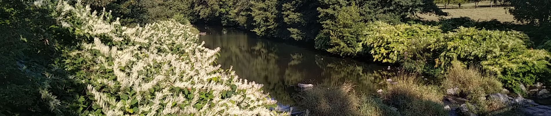
A pied pour pouvoir profiter de notre " coin" , voir le changement au fil des saisons , bientôt l'automne , pour le moment tout est redevenu vert après les dernières pluies ( il était temps! le scolyte avance...).Pour un 2 septembre , la journée s'annonce belle
Alors à vos chaussures !
.


Stappen

Stappen

Stappen

Te voet

Te voet

Stappen

Stappen

Stappen
