


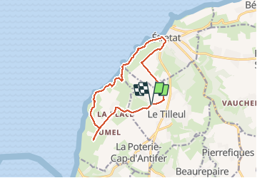

4,7 km | 6,7 km-effort

Gebruiker


Gratisgps-wandelapplicatie
 SityTrail
IGN / Geografische instituten
SityTrail World
De wereld gaat voor u open
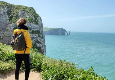
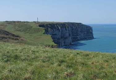
Tocht Stappen van 12,2 km beschikbaar op Normandië, Seine-Maritime, Le Tilleul. Deze tocht wordt voorgesteld door DDLEDANDY.
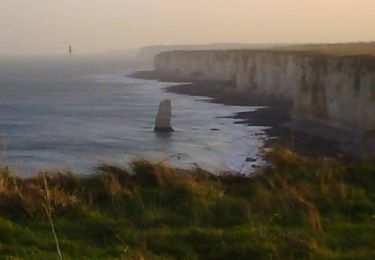
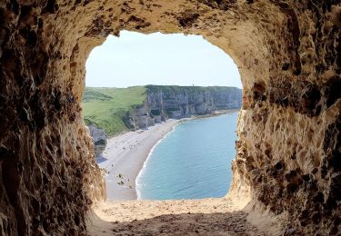
Parcours très sympathique qui permet de profiter de nombreux points de vue sur mer et côte d'Albâtre sur le tiers du parcours


Stappen

Stappen
Mountainbike
Stappen

Stappen
Stappen
Stappen
Stappen
Stappen