


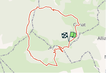

10,8 km | 24 km-effort


Gebruiker


Gratisgps-wandelapplicatie
 SityTrail
IGN / Geografische instituten
SityTrail World
De wereld gaat voor u open
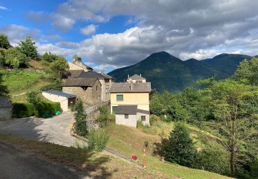
Tocht Stappen van 10,7 km beschikbaar op Occitanië, Ariège, Génat. Deze tocht wordt voorgesteld door c.chehere.
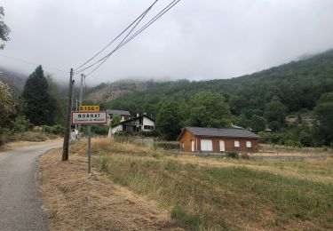
Parking au lieu-dit la grangette d'en bas commune de Génat
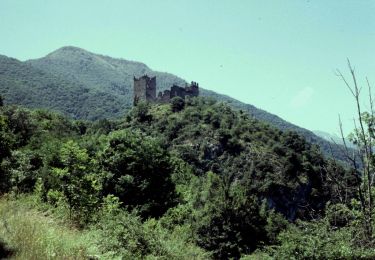
Descriptif dans visiorando.
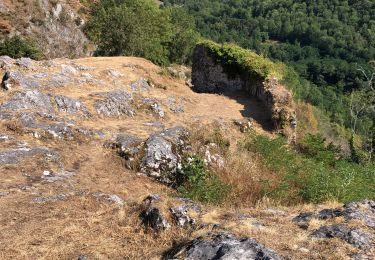
Nombreux déchets de coupe forestiere entre Génat et le col de Lastris

Stappen
Stappen
Stappen
Stappen
Elektrische fiets
Elektrische fiets
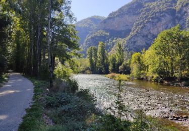
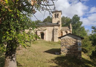
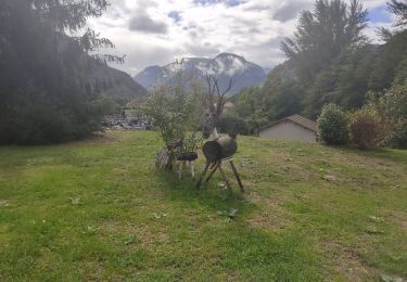
Te voet
Te voet

Te voet