


12,3 km | 26 km-effort

Gebruiker


Gratisgps-wandelapplicatie
 SityTrail
IGN / Geografische instituten
SityTrail World
De wereld gaat voor u open
Tocht Stappen van 23 km beschikbaar op Occitanië, Ariège, Sorgeat. Deze tocht wordt voorgesteld door jopost.
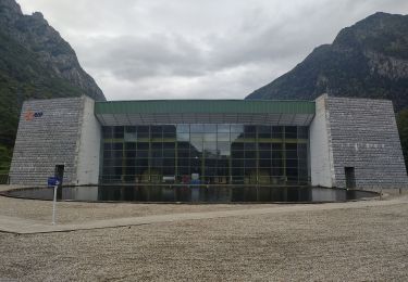
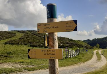
Voici la 5ème étape Sorgeat Mérens pour continuer ce chemin des Bons-Hommes.
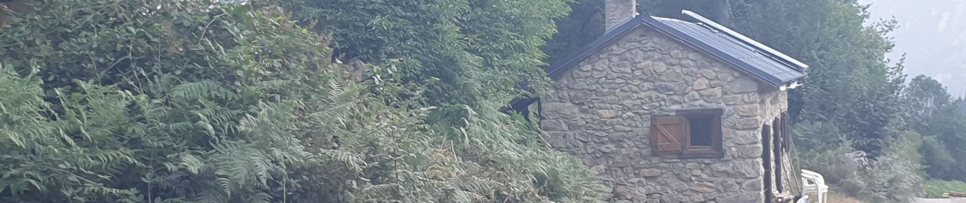
Vous partez depuis Sorgeat direction Ascou, arrivé à la Porteille, attention à la descente vers Orgeix .
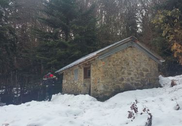
après 1h arrivé à Orgeix, on continue la piste forestière, après 2h de montée arrêt de 10 mn puis on repart vers le col de Joux (route forestière normalement interdite car débardage de bois).
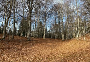
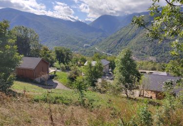
Arrivée col de Joux après 5h donc 3h50 depuis Orgeix, arrêt 40 mn. belle vue sur la massif de Tabe, la carrière de Talc de Luzenac et la station d'Ax Bonascre.
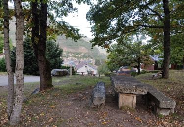
Encore 2h de marche et 4km (descente difficile due à mes pieds) et nous voici à Mérens le Haut et son église romane, encore 30 mn et arrivé à la gare de Mérens, après 22,5km , 8h20 dont 1h de pauses et 1090m de dénivelé.


Stappen

Stappen
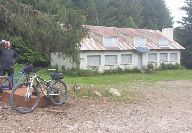
Mountainbike

Stappen
Stappen
Stappen
Stappen
Stappen