


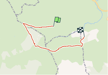

18,4 km | 24 km-effort

Gebruiker


Gratisgps-wandelapplicatie
 SityTrail
IGN / Geografische instituten
SityTrail World
De wereld gaat voor u open
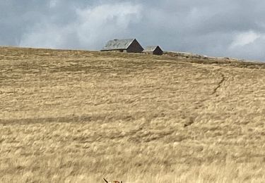
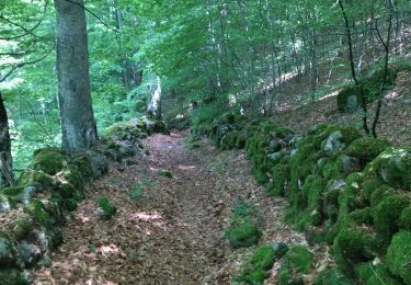
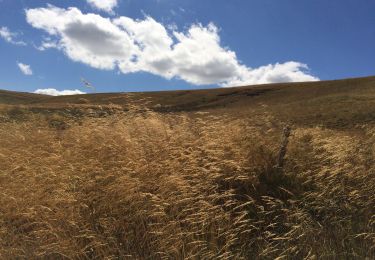
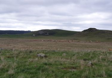
Tocht Stappen van 5,7 km beschikbaar op Occitanië, Lozère, Les Salces. Deze tocht wordt voorgesteld door ptarif.


Stappen
Stappen
Stappen
Stappen
Stappen
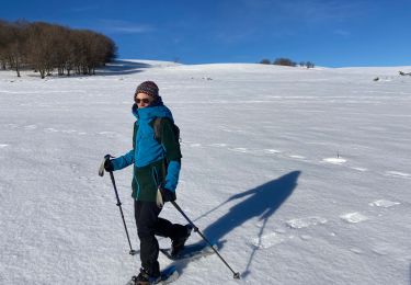
Sneeuwschoenen
Stappen
Stappen
Stappen