


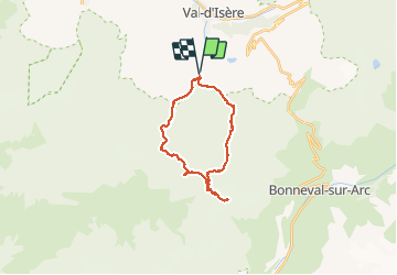


12,6 km | 20 km-effort

Gebruiker GUIDE


Gratisgps-wandelapplicatie
 SityTrail
IGN / Geografische instituten
SityTrail World
De wereld gaat voor u open
Tocht Stappen van 22 km beschikbaar op Auvergne-Rhône-Alpes, Savoie, Val-d'Isère. Deze tocht wordt voorgesteld door amiral13.
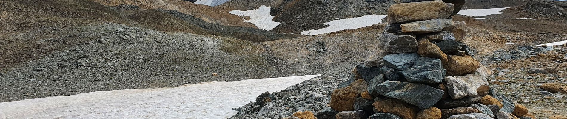
attention les 400 derniers mètres de dénivelée sont hors sentier et donc à réserver aux randonneurs expérimentés.
tout d'abord un cheminement assez facile pour contourner la pointe 3130, puis une traversée sous la dite pointe à flanc de talus plus ou moins instable. On remonte ensuite ce talus vers la ligne de crête, que l'on suit assez facilement sud-est jusqu'à faire la jonction avec une arête orientée est-nord-est , constituée de gros blocs plus ou moins stables et de pierres levées. le sommet,marqué par un gros cairn se situe au bout de cette arête.


39 fotos in totaal. Klik op een foto om ze allemaal in de galerij weer te geven.

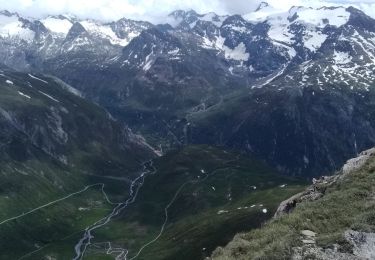
Stappen

Stappen
Stappen

Stappen
Stappen
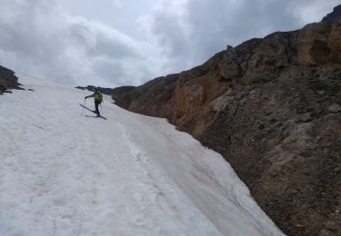
Ski randonnée
Ski randonnée
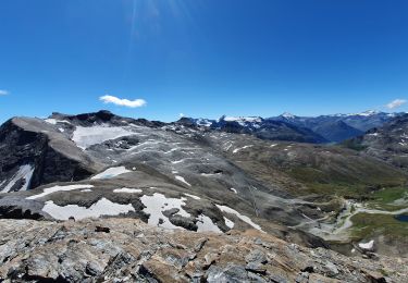
Stappen
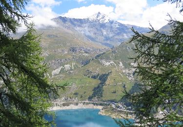
Stappen