


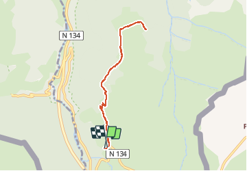

10,4 km | 19,6 km-effort

Gebruiker


Gratisgps-wandelapplicatie
 SityTrail
IGN / Geografische instituten
SityTrail World
De wereld gaat voor u open
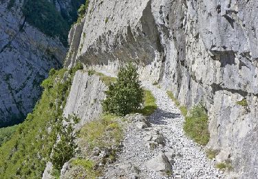
Tocht Stappen van 7,7 km beschikbaar op Nieuw-Aquitanië, Pyrénées-Atlantiques, Urdos. Deze tocht wordt voorgesteld door bedous.
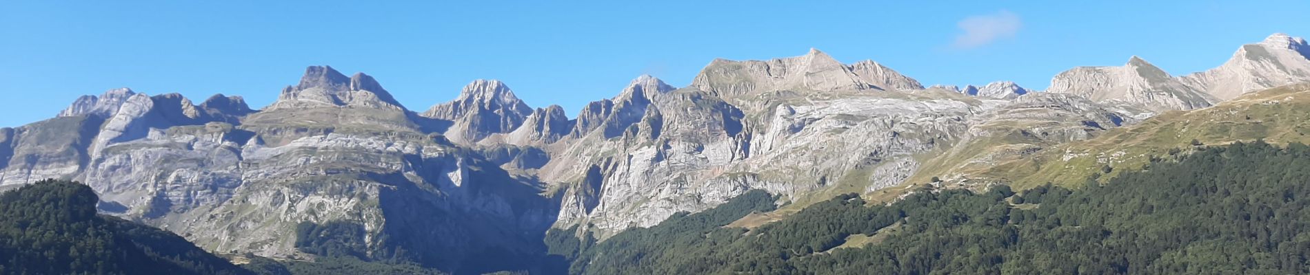
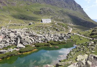
Très belle randonnée avec beaucoup d'ombre et de plats pour une montée en "douceur". Randonnée familiale. De très belles vues sur les monts espagnols au dessus de Candanchu. Vue sur la vallée d'Aspe.


Te voet
Te voet

Te voet

Stappen

Stappen
Stappen

Stappen
Stappen
Stappen