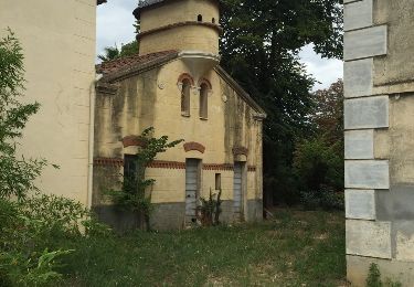
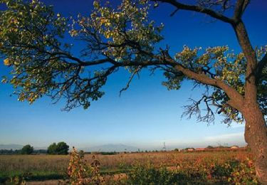
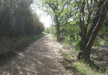
Tocht Wegfiets Cabestany - perp Llauro - Photo
 Michel Pontie
Michel Pontie

Gebruiker

© OpenStreetMap contributors
Lengte
Lengte
91 km
Max. hoogte
Max. hoogte
394 m
Positief hoogteverschil
962 m
Km-Effort
Km-Effort  
103 km
Min. hoogte
Min. hoogte
14 m
Negatief hoogteverschil
961 m
Boucle
Boucle
Ja
Datum van aanmaak :
2020-08-23 05:05:28.356
Laatste wijziging :
2020-08-23 14:19:09.072

(0 Bericht)

Wegfiets
Wegfiets
5h07
Moeilijkheid : Medium

Scan deze QR-code om de tocht te openen in de SityTrail-applicatie

Gratisgps-wandelapplicatie

Logo SityTrail SityTrail

IGN / Geografische instituten

SityTrail uit de App Store downloaden SityTrail uit Google Play downloaden

Logo SityTrail SityTrail World

De wereld gaat voor u open

SityTrail uit de App Store downloaden SityTrail uit Google Play downloaden SityTrail op Huawei AppGallery downloaden

Over ons

Tocht Wegfiets van 91 km beschikbaar op Occitanië, Pyrénées-Orientales, Cabestany. Deze tocht wordt voorgesteld door Michel Pontie.

Beschrijving

perp Toulouges Thuir Terrats Llauro Ceret Vives Llauro Trouillas Ponteilla Canohes Mas Palegry Saleilles Cabes

Hoogteprofiel

Plaatsbepaling

Land:
France
Regio :
Occitanië
Departement/Provincie :
Pyrénées-Orientales
Gemeente :
Cabestany
Locatie:
Unknown
Vertrek:(UTM)
495607 ; 4724415 (31T) N.

Wandeltochten in de omgeving

Tocht Stappen Théza - 66 THEZA - CORNEILLA-DEL-VERCOL - Photo
Stappen
jeff66

Stappen

Gemakkelijk
(2)
Théza, Occitanië, Pyrénées-Orientales, France
7 km | 7,5 km-effort
1h 8min
Ja
Tocht Stappen Cabestany - Chemins autour de Cabestany - Photo
Stappen
tracegps

Stappen

Medium
(2)
Cabestany, Occitanië, Pyrénées-Orientales, France
11,8 km | 12,7 km-effort
3h 0min
Ja
Tocht Stappen Perpignan - Perpignan 01.10.2017  - Photo
Stappen
jeff66

Stappen

Gemakkelijk
(1)
Perpignan, Occitanië, Pyrénées-Orientales, France
6,7 km | 7,5 km-effort
1h 39min
Neen
Tocht Stappen Villeneuve-de-la-Raho - 66 VILLENEUVE-DE-LA-RAHO - grand tour périphérique du lac par les lignes de crêtes  - Photo
Stappen
jeff66

Stappen

Gemakkelijk
(2)
Villeneuve-de-la-Raho, Occitanië, Pyrénées-Orientales, France
10 km | 11,5 km-effort
1h 44min
Ja
Tocht Stappen Saleilles - 66 SALEILLES - St-NAZAIRE, entre FOSSEILLE et REART - Photo
Stappen
jeff66

Stappen

Gemakkelijk
(1)
Saleilles, Occitanië, Pyrénées-Orientales, France
7,3 km | 7,7 km-effort
1h 8min
Ja
Tocht Stappen Saint-Nazaire - Soleil les mas guillemet - Photo
Stappen
66Gribouille83

Stappen

Medium
Saint-Nazaire, Occitanië, Pyrénées-Orientales, France
8,3 km | 8,7 km-effort
2h 52min
Ja
Tocht Stappen Saint-Nazaire - m'as d allo - Photo
Stappen
66Gribouille83

Stappen

Medium
Saint-Nazaire, Occitanië, Pyrénées-Orientales, France
8,5 km | 9,2 km-effort
2h 51min
Ja
Tocht Quad Villeneuve-de-la-Raho - Villeneuve-de-la-Raho-Collioure(Juillet-Aout) - Photo
Quad
Quad Ride

Quad

Heel gemakkelijk
(1)
Villeneuve-de-la-Raho, Occitanië, Pyrénées-Orientales, France
39 km | 44 km-effort
1h 40min
Neen
Tocht Stappen Cabestany - cabestany - Photo
Stappen
66Gribouille83

Stappen

Medium
Cabestany, Occitanië, Pyrénées-Orientales, France
7,5 km | 8,2 km-effort
2h 35min
Ja


Sluiten
Mijn abonnementen