


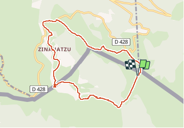

12,3 km | 19,6 km-effort


Gebruiker


Gratisgps-wandelapplicatie
 SityTrail
IGN / Geografische instituten
SityTrail World
De wereld gaat voor u open
Tocht Stappen van 9,9 km beschikbaar op Navarra - Nafarroa, Onbekend, Orbaizeta. Deze tocht wordt voorgesteld door pacha56.
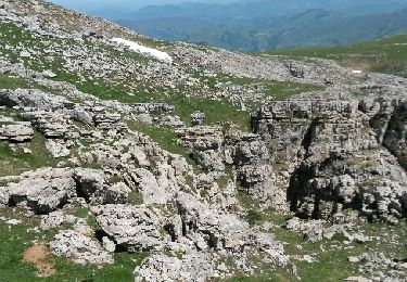
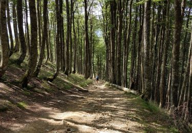
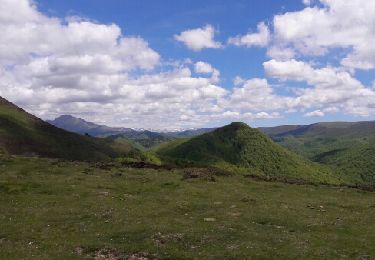
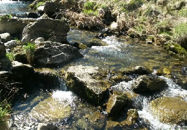
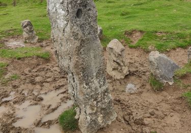
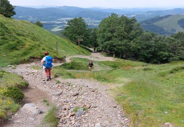
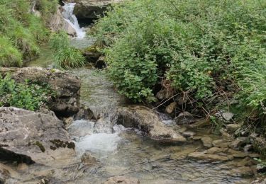
Départ du col d'Orgambidé, montée vers le sommet avec une superbe vue à 360 dg. Une construction datant des romains. retour par des pâturages.. Et cromlechs du col d'Orgambidé
Stappen

Stappen
Stappen
Stappen
Stappen
Stappen
Stappen
Stappen
Stappen
aucune trace !!! juste bon pour se perdre !!!