


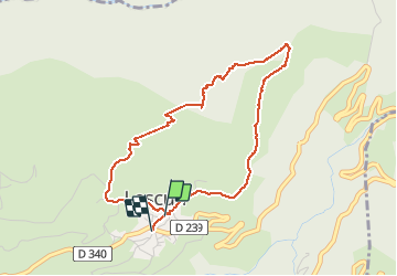

8,8 km | 14,3 km-effort

Gebruiker


Gratisgps-wandelapplicatie
 SityTrail
IGN / Geografische instituten
SityTrail World
De wereld gaat voor u open
Tocht Stappen van 4,4 km beschikbaar op Nieuw-Aquitanië, Pyrénées-Atlantiques, Lescun. Deze tocht wordt voorgesteld door alfreson.
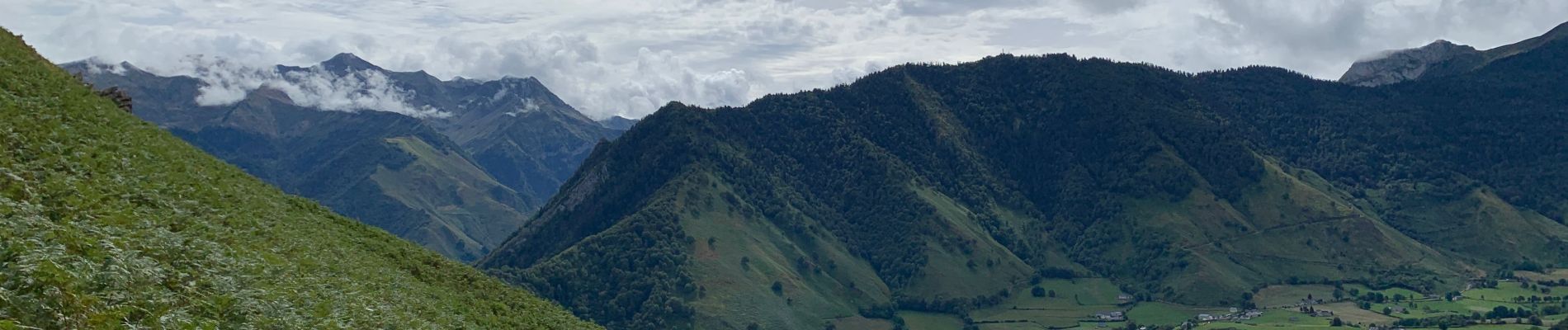
Superbe promenade avec des paysages variés à la montée, vue sur tout le cirque de Lescun, et descente au milieu des fougères 😀 à faire dans ce sens là!


Stappen

Stappen

Stappen

Te voet

Te voet
Te voet
Te voet

Te voet
Te voet