


7,8 km | 16,3 km-effort


Gebruiker


Gratisgps-wandelapplicatie
 SityTrail
IGN / Geografische instituten
SityTrail World
De wereld gaat voor u open
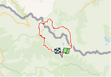
Tocht Stappen van 34 km beschikbaar op Provence-Alpes-Côte d'Azur, Alpes-Maritimes, Saint-Martin-Vésubie. Deze tocht wordt voorgesteld door yvan06.
Circuit sur 2 jours, avec bivouac au lac de Claus (préférable pou mettre sa tente) ou refuge de Questa. Petit détour facultatif à la cime de Fremamorte.

Stappen

Stappen

Te voet

Te voet

Te voet

Stappen

Stappen
Stappen
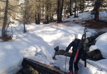
Ski randonnée