11,4 km | 13,9 km-effort
st ange
c.chehere
Gebruiker
Lengte
3,4 km
Max. hoogte
253 m
Positief hoogteverschil
37 m
Km-Effort
3,9 km
Min. hoogte
222 m
Negatief hoogteverschil
38 m
Boucle
Neen
Datum van aanmaak :
2020-08-16 14:20:15.171
Laatste wijziging :
2020-08-16 15:33:50.635
1h13
Moeilijkheid : Heel gemakkelijk
Gratisgps-wandelapplicatie
Over ons
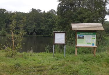
Tocht Stappen van 3,4 km beschikbaar op Bourgondië-Franche-Comté, Yonne, Bussy-en-Othe. Deze tocht wordt voorgesteld door c.chehere.
Plaatsbepaling
Land:
France
Regio :
Bourgondië-Franche-Comté
Departement/Provincie :
Yonne
Gemeente :
Bussy-en-Othe
Locatie:
Unknown
Vertrek:(Dec)
Vertrek:(UTM)
538919 ; 5322485 (31U) N.
Opmerkingen
Wandeltochten in de omgeving
Bussy en Othe 210725
Stappen
Gemakkelijk
Bussy-en-Othe,
Bourgondië-Franche-Comté,
Yonne,
France
3h 58min
Ja
MN Villechétive
Noords wandelen
Medium
Cerisiers,
Bourgondië-Franche-Comté,
Yonne,
France
12,5 km | 14,6 km-effort
2h 15min
Ja
Bussy Les étangs de St Ange
Stappen
Gemakkelijk
Bussy-en-Othe,
Bourgondië-Franche-Comté,
Yonne,
France
7,2 km | 8,3 km-effort
1h 49min
Ja
Villechétive 1
Mountainbike
Gemakkelijk
Villechétive,
Bourgondië-Franche-Comté,
Yonne,
France
24 km | 28 km-effort
1h 52min
Ja
3 mai
Stappen
Heel gemakkelijk
Bussy-en-Othe,
Bourgondië-Franche-Comté,
Yonne,
France
2,3 km | 2,6 km-effort
1h 13min
Ja