


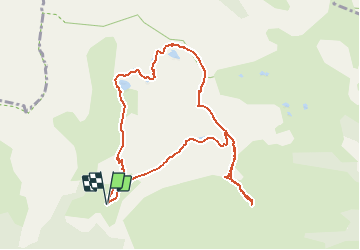

7,8 km | 16,3 km-effort

Gebruiker GUIDE


Gratisgps-wandelapplicatie
 SityTrail
IGN / Geografische instituten
SityTrail World
De wereld gaat voor u open
Tocht Stappen van 10,1 km beschikbaar op Provence-Alpes-Côte d'Azur, Alpes-Maritimes, Valdeblore. Deze tocht wordt voorgesteld door donda.
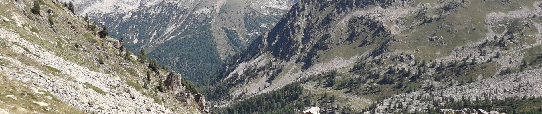
Tour des lacs - Mont Pépoiri - Mont Pétoumier - Tête du Brec - retour par le lac d'En Veillos. (fait le 15.08.2020)
 - Photo 1")
 - Photo 2")
 - Photo 3")
 - Photo 4")

Stappen

Te voet

Te voet

Te voet

Te voet

Ski randonnée

Ski randonnée

Ski randonnée

Stappen